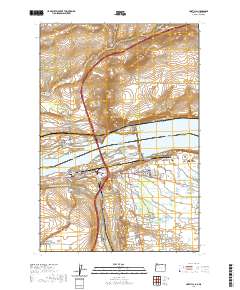
1962 Map of Umatilla
USGS Topo · Published 1963About this map
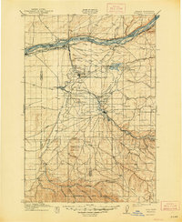
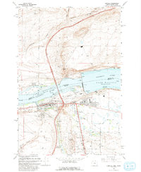
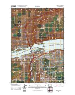
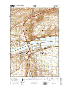
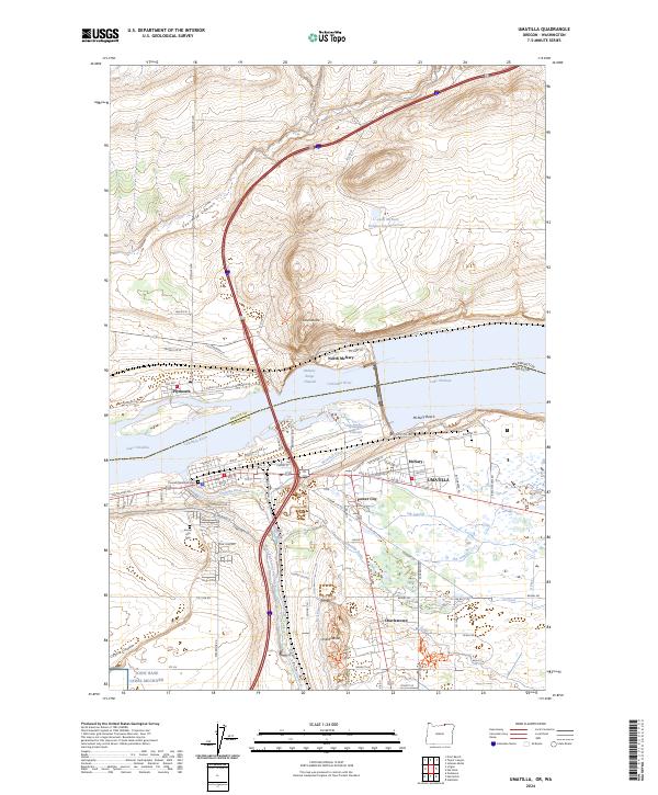
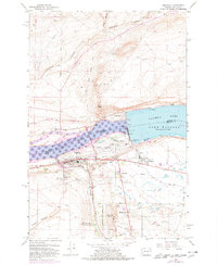
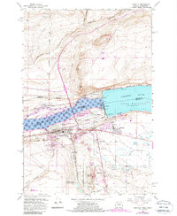
McNary Dam anchors the landscape where the Columbia River forms the state line between Washington and Oregon, creating the expansive Lake Wallula. This early 1960s survey documents the complex engineering and hydroelectric infrastructure of the era, featuring a Powerhouse, Fish Viewing Station, and a massive Toll Plaza and Substation network. The city of Umatilla sits at the river's edge, supported by the Union Pacific rail lines and the West Extension Irrigation Canal. South of the main settlement, residential nodes like Power City and Charlestown reflect the mid-century growth driven by the dam's construction and operation. Topographic details such as Sillusi Butte and Umatilla Butte rise above the basin, while the Spokane Portland and Seattle Railroad Grade traces the northern shore near Plymouth. The map also preserves the location of the Umatilla City Cem and the local High Sch, providing valuable points of reference for local historians.
Find a feature on this map
44 named features on this map. Tap any name to fly to it.
Don’t see what you’re looking for? This feature index may not catch every label — zoom into the map to look around manually.
Map Details
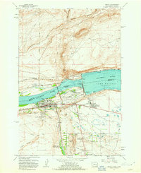
Editions of this 1962 Umatilla Map
4 editions found
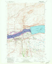
Historical Maps of Umatilla Through Time
8 maps found