
1962 Map of Stanfield
USGS Topo · Published 1963About this map
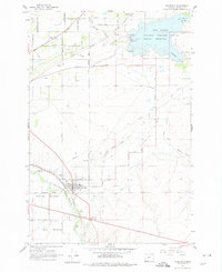
Stanfield and its surrounding agricultural reaches are defined by a complex network of irrigation and transportation in the early 1960s. The Umatilla River flows through the southwestern corner, flanked by Umatilla Meadows and Echo Meadows, while the Union Pacific railroad corridor serves as the industrial spine for the region. The landscape is intensely managed through a system of waterworks, including the Feed Canal, Furnish Ditch, and Maxwell Canal, which draw from the river to support the local farms. To the northeast, the Cold Springs Reservoir dominates the terrain, encompassed by the National Wildlife Refuge. Local social and civic life is anchored by landmarks like the Grange Hall and the High Sch, while several family and community burial sites, such as Pleasant View Cem and Foster Cem, provide critical touchstones for genealogical research in this part of Umatilla County.
Find a feature on this map
40 named features on this map. Tap any name to fly to it.
Don’t see what you’re looking for? This feature index may not catch every label — zoom into the map to look around manually.
Map Details
Editions of this 1962 Stanfield Map
2 editions found
Other maps of this area

1908 · Umatilla
USGS Topo · 1:125,000

1953 · Pendleton
USGS Topo · 1:250,000

1956 · Pendleton
USGS Topo · 1:250,000

1962 · Hat Rock
USGS Topo · 1:24,000

1962 · Hermiston
USGS Topo · 1:24,000

1962 · Juniper
USGS Topo · 1:24,000

1962 · Umatilla
USGS Topo · 1:24,000

1962 · Stanfield SE
USGS Topo · 1:24,000
1968 · Echo
USGS Topo · 1:24,000
1968 · Nolin
USGS Topo · 1:24,000