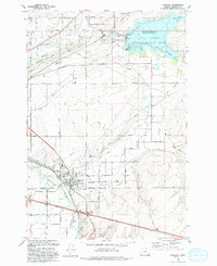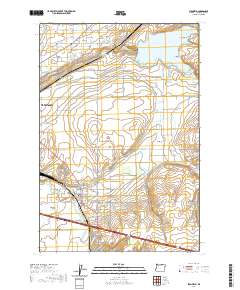
1962 Map of Stanfield
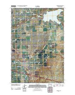
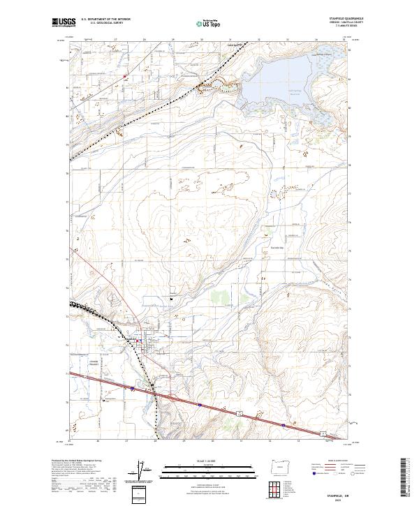
USGS Topo · Published 1977About this map
The Umatilla River and a complex network of irrigation infrastructure define this agricultural landscape during the early 1960s. The town of Stanfield sits at the heart of this grid, served by the Union Pacific railroad and surrounded by productive meadows. To the north, the Cold Springs Reservoir and the Cold Springs National Wildlife Refuge provide a massive water source and habitat area, feeding a labyrinth of man-made waterways including the Furnish Canal, Stanfield Feed Canal, and the Aqueduct. This system highlights the intensive land management required for the region's development.
Find a feature on this map
52 named features on this map. Tap any name to fly to it.
Don’t see what you’re looking for? This feature index may not catch every label — zoom into the map to look around manually.
Map Details
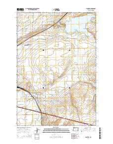
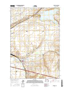
Editions of this 1962 Stanfield Map
2 editions found
Historical Maps of Hermiston Through Time
7 maps found