Loading...
Loading map...2024 Map of Pass Christian
USGS Topo · Published 2024About this map
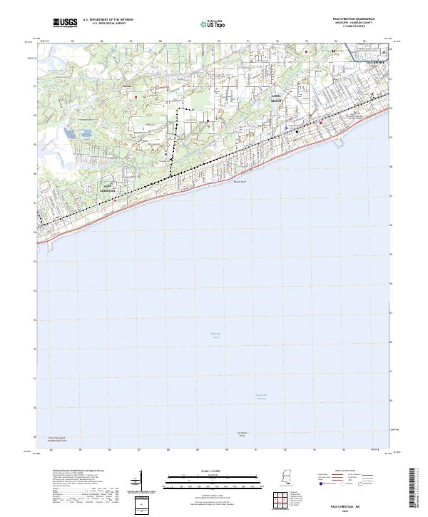
Pass Christian and Long Beach anchor this coastal survey, where the urban grid of the Mississippi Sound shoreline meets an intricate system of bayous and canals. The University of Southern Mississippi Gulf Park Campus sits prominently near the shoreline, marking a significant educational landmark between the residential centers of Gulfport and the quieter western reaches of Cuevas.
Find a feature on this map
155 named features on this map. Tap any name to fly to it.
Don’t see what you’re looking for? This feature index may not catch every label — zoom into the map to look around manually.
Map Details
Date Portrayed2024
Date Published2024
PublisherU.S. Geological Survey
Map TypeTopographic
Scale1:24000
Physical Dimensions24 x 29 inches
Editions of this 2024 Pass Christian Map
This is the sole edition of this map. No revisions or reprints were ever made.
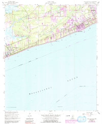
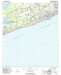
Historical Maps of Pass Christian Through Time
3 maps found
Featured Locations
Source Details
SourceU.S. Geological Survey
CopyrightPublic Domain