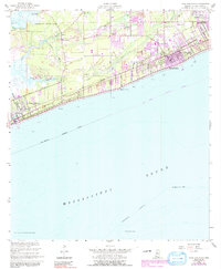
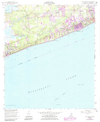
1955 Map of Pass Christian
USGS Topo · Published 1991About this map
The coastal landscapes of Harrison County are defined by a mix of early land grants and the growing shoreline settlements of Pass Christian and Long Beach. This 1955 survey, updated through the 1980s, reveals the historical footprint of large land claims such as the Alexander Dimitry Claim and the Widow Ladner Claim, which contrast with the grid-based development along the Louisville and Nashville railroad. Near the shoreline, Gulf Park College stands as a prominent institutional landmark.
Find a feature on this map
36 named features on this map. Tap any name to fly to it.
Don’t see what you’re looking for? This feature index may not catch every label — zoom into the map to look around manually.
Map Details
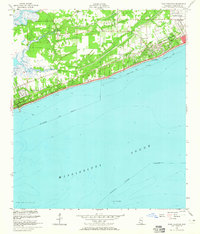
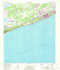
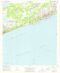
Editions of this 1955 Pass Christian Map
6 editions found
Other maps of this area

1893 · Cat Island
USGS Topo · 1:62,500

1893 · Toulme
USGS Topo · 1:62,500

1946 · Isle Au Pitre
USGS Topo · 1:31,680

1951 · Cat Island
USGS Topo · 1:24,000

1953 · Mobile
USGS Topo · 1:250,000

1954 · Isle Au Pitre
USGS Topo · 1:31,680

1954 · Gulfport North
USGS Topo · 1:24,000

1954 · Gulfport South
USGS Topo · 1:24,000

1955 · Pass Christian
USGS Topo · 1:24,000
1955 · Isle Au Pitre
USGS Topo · 1:24,000