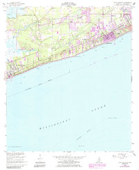
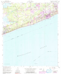
1955 Map of Pass Christian
USGS Topo · Published 1985About this map
The coastal Mississippi landscape of the mid-1950s is defined here by the established settlements of Pass Christian and Long Beach, where the shoreline meets the Mississippi Sound. This survey captures the region just before significant modern development altered the Gulf Coast, showing a mix of residential expansion and historical land divisions like the Alexander Dimitry Claim and the Widow L Ladner Claim. Inland, the terrain is shaped by the winding Wolf River and its tributaries, including Bayou Acadian and Portage Bayou. Local community life is documented through numerous country churches and schools, such as Little Zion Ch and Pineville Sch, while Gulf Park College stands as a prominent landmark on the eastern edge of the sheet. The map also traces the Intracoastal Waterway and various maritime features like Pitcher Point and Cat Island Shoal.
Find a feature on this map
32 named features on this map. Tap any name to fly to it.
Don’t see what you’re looking for? This feature index may not catch every label — zoom into the map to look around manually.
Map Details
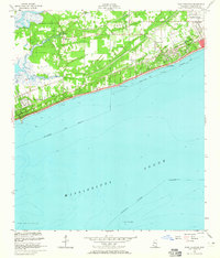
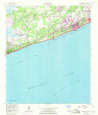
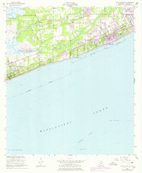
Editions of this 1955 Pass Christian Map
6 editions found
Other maps of this area

1893 · Cat Island
USGS Topo · 1:62,500

1893 · Toulme
USGS Topo · 1:62,500

1946 · Isle Au Pitre
USGS Topo · 1:31,680

1951 · Cat Island
USGS Topo · 1:24,000

1953 · Mobile
USGS Topo · 1:250,000

1954 · Isle Au Pitre
USGS Topo · 1:31,680

1954 · Gulfport North
USGS Topo · 1:24,000

1954 · Gulfport South
USGS Topo · 1:24,000

1955 · Pass Christian
USGS Topo · 1:24,000
1955 · Isle Au Pitre
USGS Topo · 1:24,000