
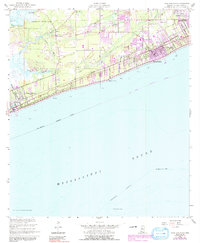
1955 Map of Pass Christian
USGS Topo · Published 1958About this map
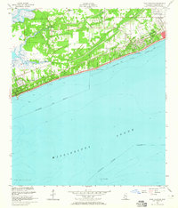
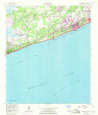
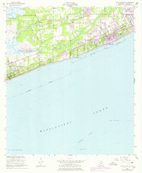
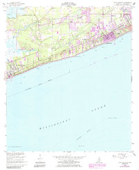
Coastal Mississippi’s shoreline between Pass Christian and Long Beach is defined by a dense corridor of transportation and historical claims. The Louisville and Nashville railroad runs parallel to the coastline, anchored by landmarks like the Gulf Park College and the Drive-in Theater near Pitcher Point. This mid-century view captures a landscape transitioning from rural land claims to suburban development, evidenced by the numerous church congregations such as Mt Pilgrim Ch and Little Zion Ch that dot the interior.
Find a feature on this map
39 named features on this map. Tap any name to fly to it.
Don’t see what you’re looking for? This feature index may not catch every label — zoom into the map to look around manually.
Map Details
Editions of this 1955 Pass Christian Map
6 editions found
Other maps of this area

1893 · Cat Island
USGS Topo · 1:62,500

1893 · Toulme
USGS Topo · 1:62,500

1946 · Isle Au Pitre
USGS Topo · 1:31,680

1951 · Cat Island
USGS Topo · 1:24,000

1953 · Mobile
USGS Topo · 1:250,000

1954 · Isle Au Pitre
USGS Topo · 1:31,680

1954 · Gulfport North
USGS Topo · 1:24,000

1954 · Gulfport South
USGS Topo · 1:24,000
1955 · Isle Au Pitre
USGS Topo · 1:24,000

1956 · Bay St. Louis
USGS Topo · 1:24,000