
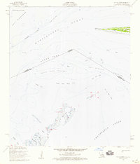
1956 Map of Bay St. Louis
USGS Topo · Published 1958About this map
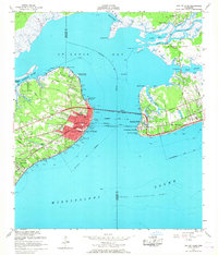
St Louis Bay serves as the central focal point of this coastal survey, where the Jourdan River and Wolf River meet the salt waters of the Mississippi Sound. The mid-century landscape is defined by established religious and educational institutions, including the campus of St Stanislaus College, the St Augustine Seminary, and the St Rose de Lima Ch. Along the waterfront, the Bay Waveland Yacht Club and several piers illustrate the area's maritime character, while the U S Merchant Marine Sch occupies the strategically positioned Henderson Point.
Find a feature on this map
47 named features on this map. Tap any name to fly to it.
Don’t see what you’re looking for? This feature index may not catch every label — zoom into the map to look around manually.
Map Details
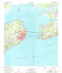
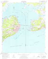
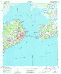
Editions of this 1956 Bay St. Louis Map
5 editions found
Other maps of this area

1893 · Cat Island
USGS Topo · 1:62,500

1893 · Toulme
USGS Topo · 1:62,500

1935 · Grand Island Pass
USGS Topo · 1:31,680

1946 · Isle Au Pitre
USGS Topo · 1:31,680

1949 · Grand Island Pass
USGS Topo · 1:31,680

1953 · Mobile
USGS Topo · 1:250,000

1954 · Isle Au Pitre
USGS Topo · 1:31,680

1955 · Pass Christian
USGS Topo · 1:24,000
1955 · Isle Au Pitre
USGS Topo · 1:24,000

1956 · Vidalia
USGS Topo · 1:24,000