Loading...
Loading map...2023 Map of Pastura
USGS Topo · Published 2023About this map
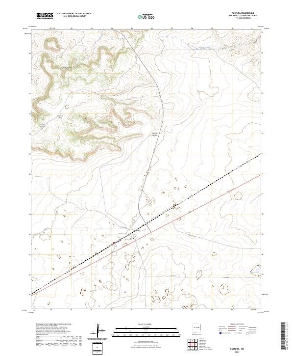
Pastura serves as the central hub of this high plains landscape, situated where the railroad and several local routes intersect. The small settlement is anchored by the Saint Helen Cem, providing a point of interest for genealogists and local historians tracing family lineages in Guadalupe County. The terrain is defined by dramatic mesas and deep cuts, most notably Argonne Mesa which rises above the surrounding flats.
Find a feature on this map
19 named features on this map. Tap any name to fly to it.
Don’t see what you’re looking for? This feature index may not catch every label — zoom into the map to look around manually.
Map Details
Date Portrayed2023
Date Published2023
PublisherU.S. Geological Survey
Map TypeTopographic
Scale1:24000
Physical Dimensions24 x 29 inches
Editions of this 2023 Pastura Map
This is the sole edition of this map. No revisions or reprints were ever made.
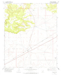
Historical Maps of Pastura Through Time
Featured Locations
Source Details
SourceU.S. Geological Survey
CopyrightPublic Domain