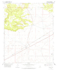
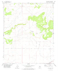
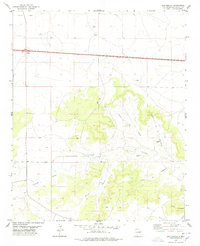
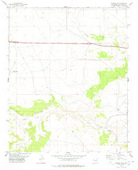
1978 Map of Pastura
USGS Topo · Published 1978About this map
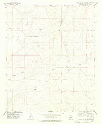
Pastura stands as a vital waypoint in the Guadalupe County high plains, anchored by the infrastructure of the Southern Pacific railroad. This semi-arid landscape is defined by the massive uplift of Argonne Mesa, which dominates the western half of the quadrangle with its steep rimrock and deeply incised drainages like Kipping Canyon and Little Canyon. The settlement itself is modest, centered around the rail line and a small Cem, reflecting the livestock-driven economy of the late 1970s.
Find a feature on this map
20 named features on this map. Tap any name to fly to it.
Don’t see what you’re looking for? This feature index may not catch every label — zoom into the map to look around manually.
Map Details
Editions of this 1978 Pastura Map
This is the sole edition of this map. No revisions or reprints were ever made.
Other maps of this area

1954 · Fort Sumner
USGS Topo · 1:250,000

1958 · Fort Sumner
USGS Topo · 1:250,000
1978 · Tapia Ranch
USGS Topo · 1:24,000

1978 · Pintada
USGS Topo · 1:24,000
1978 · San Ignacio
USGS Topo · 1:24,000
1978 · Pastura NE
USGS Topo · 1:24,000
1978 · Laguna De Los Terreros
USGS Topo · 1:24,000
1978 · El Morro Ranch NW
USGS Topo · 1:24,000
1978 · Pastura SE
USGS Topo · 1:24,000
1978 · Burro Lake
USGS Topo · 1:24,000