
1978 Map of Laguna De Los Terreros
USGS Topo · Published 1978About this map
Laguna de los Terreros and the surrounding high plains of Guadalupe County appear here as a landscape defined by cattle ranching and critical water infrastructure. In the late 1970s, the economic life of this region centered on family-named operations such as Romero Ranch, Johnson Ranch, and Muniz Ranch. The map reveals the intricate network of windmills essential for livestock survival in this arid terrain, including the evocatively named High Lonesome Windmill and Bull Pasture Windmill. The tiny settlement of Borica serves as a local landmark amidst a topography of seasonal drainages and draws. Geographic features like the Cañada de Brehedo and the area known as Monias illustrate the natural corridors used for movement across the plains, while various wells and tanks scattered throughout indicate the constant management of water resources in eastern New Mexico.
Find a feature on this map
17 named features on this map. Tap any name to fly to it.
Don’t see what you’re looking for? This feature index may not catch every label — zoom into the map to look around manually.
Map Details
Editions of this 1978 Laguna De Los Terreros Map
This is the sole edition of this map. No revisions or reprints were ever made.
Other maps of this area

1954 · Fort Sumner
USGS Topo · 1:250,000

1958 · Fort Sumner
USGS Topo · 1:250,000

1963 · Puerto Creek
USGS Topo · 1:24,000

1966 · Borica SW
USGS Topo · 1:24,000

1966 · Borica
USGS Topo · 1:24,000

1978 · El Morro Ranch SE
USGS Topo · 1:24,000

1978 · El Morro Ranch
USGS Topo · 1:24,000
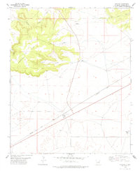
1978 · Pastura
USGS Topo · 1:24,000

1978 · El Morro Ranch NW
USGS Topo · 1:24,000
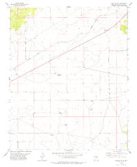
1978 · Pastura SE
USGS Topo · 1:24,000