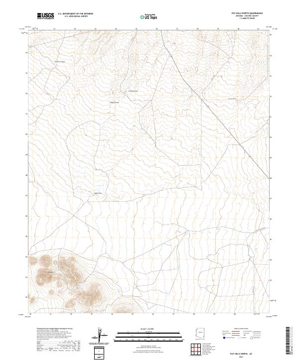
2021 Map of Pat Hills North
USGS Topo · Published 2021About this map
Pat Hills anchor the southwestern corner of this landscape, rising above a network of ephemeral watercourses that define the drainage patterns of Cochise County. This 2021 survey reveals a vast stretch of open terrain marked by significant draws, including Seven VT Draw, Cienega Draw, and Mogul Draw, which channel seasonal runoff through the arid basin. The map illustrates how human movement is dictated by these natural contours, with routes like Apache Pass Rd and S Touts Aly traversing the sections of Township 15 South. While large-scale development is absent, the infrastructure of ranching and rural access is evident through the presence of E Creasey Ranch Rd and Greasey Rd in the southeast. For researchers of Arizona's high desert, the map provides a precise record of land management divisions across t15s r27e and surrounding ranges.
Find a feature on this map
13 named features on this map. Tap any name to fly to it.
Don’t see what you’re looking for? This feature index may not catch every label — zoom into the map to look around manually.
Map Details
Editions of this 2021 Pat Hills North Map
This is the sole edition of this map. No revisions or reprints were ever made.
Other maps of this area

1916 · Pearce
USGS Topo · 1:125,000

1917 · San Simon
USGS Topo · 1:125,000

1917 · Chiricahua
USGS Topo · 1:125,000

1919 · Chiricahua
USGS Topo · 1:125,000

1922 · Willcox
USGS Topo · 1:125,000

1926 · Light
USGS Topo · 1:62,500

1926 · Cochise Head
USGS Topo · 1:62,500

1926 · Rucker
USGS Topo · 1:62,500

1943 · Dos Cabezas
USGS Topo · 1:62,500

1950 · Cochise Head
USGS Topo · 1:62,500