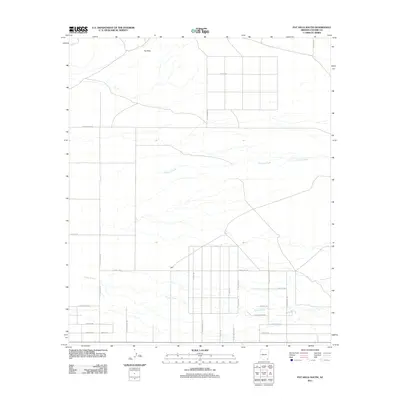
2011 Map of Pat Hills South
USGS Topo · Published 2011About this map
Pat Hills dominate the northern landscape of this Cochise County region, giving way to a developing residential grid in the southern reaches. The area is defined by the intermittent flow of Fivemile Creek and Turkey Creek, which weave through a terrain marked by wide-open spaces and emerging rural development. Near the center of the sheet lies the settlement of Light, surrounded by an increasingly structured network of roads. This 2011 survey reveals a transitional period for the desert landscape, where traditional ranching landmarks like S Price Ranch Rd meet modern residential naming conventions. The intricate street grid appearing south of Turkey Trot—featuring names such as Night Owl Ln and S Falling Star Ln—suggests a shift toward suburban expansion in a traditionally cattle-oriented environment.
Find a feature on this map
31 named features on this map. Tap any name to fly to it.
Don’t see what you’re looking for? This feature index may not catch every label — zoom into the map to look around manually.
Map Details
Editions of this 2011 Pat Hills South Map
This is the sole edition of this map. No revisions or reprints were ever made.
Other maps of this area

1916 · Pearce
USGS Topo · 1:125,000

1917 · San Simon
USGS Topo · 1:125,000

1917 · Chiricahua
USGS Topo · 1:125,000

1919 · Chiricahua
USGS Topo · 1:125,000

1922 · Willcox
USGS Topo · 1:125,000

1926 · Light
USGS Topo · 1:62,500

1926 · Cochise Head
USGS Topo · 1:62,500

1926 · Rucker
USGS Topo · 1:62,500

1943 · Dos Cabezas
USGS Topo · 1:62,500

1950 · Cochise Head
USGS Topo · 1:62,500