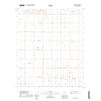
2018 Map of Pat Hills South
USGS Topo · Published 2018About this map
Pat Hills anchor the northern landscape of this Cochise County region, where the terrain transitions into a grid of rural ranch roads and landing strips. The local transportation network is defined by uniquely named thoroughfares such as E Collared Lizard Rd, S Flycatcher Rd, and Night Owl Ln, reflecting a modern overlay on the traditional section lines of the Public Land Survey System. The Rancho Relaxo Airport serves as a prominent landmark in the central valley, a sign of the area's aviation-linked rural lifestyle. In the east, the intermittent drainage of Fivemile Cr and Turkey Cr cuts through the desert floor, showing the natural hydrologic patterns that dictated original land use. This 2018 survey documents a landscape where large-scale ranching and private aviation hubs coexist within a strictly organized cadastral framework.
Find a feature on this map
46 named features on this map. Tap any name to fly to it.
Don’t see what you’re looking for? This feature index may not catch every label — zoom into the map to look around manually.
Map Details
Editions of this 2018 Pat Hills South Map
This is the sole edition of this map. No revisions or reprints were ever made.
Other maps of this area

1916 · Pearce
USGS Topo · 1:125,000

1917 · San Simon
USGS Topo · 1:125,000

1917 · Chiricahua
USGS Topo · 1:125,000

1919 · Chiricahua
USGS Topo · 1:125,000

1922 · Willcox
USGS Topo · 1:125,000

1926 · Light
USGS Topo · 1:62,500

1926 · Cochise Head
USGS Topo · 1:62,500

1926 · Rucker
USGS Topo · 1:62,500

1943 · Dos Cabezas
USGS Topo · 1:62,500

1950 · Cochise Head
USGS Topo · 1:62,500