
1892 Map of Paterson
USGS Topo · Published 1892About this map
The Passaic River and its industrial corridor dominate this late nineteenth-century landscape, where the Dundee Dam and Dundee Lake powered the growth of Paterson. The dense street grid of the city contrasts sharply with the nearby ridgelines of Watchung Mountain and High Mt. to the west. Infrastructure for a burgeoning population is evident through the Jersey City Waterworks Aqueduct and the Newark Waterworks facilities along the riverbank.
Find a feature on this map
131 named features on this map. Tap any name to fly to it.
Don’t see what you’re looking for? This feature index may not catch every label — zoom into the map to look around manually.
Map Details
Editions of this 1892 Paterson Map
This is the sole edition of this map. No revisions or reprints were ever made.
Historical Maps of Rugby Square Through Time
10 maps found

1888 Paterson
Passaic County, NJ
1892 Paterson
Passaic County, NJ

1898 Paterson
Passaic County, NJ
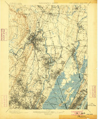
1900 Paterson
Passaic County, NJ
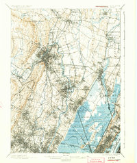
1903 Paterson
Passaic County, NJ
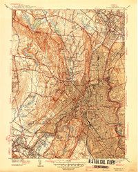
1938 Paterson
Passaic County, NJ
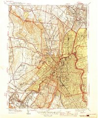
1944 Paterson
Passaic County, NJ
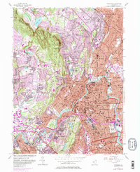
1955 Paterson
Passaic County, NJ
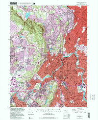
1995 Paterson
Passaic County, NJ
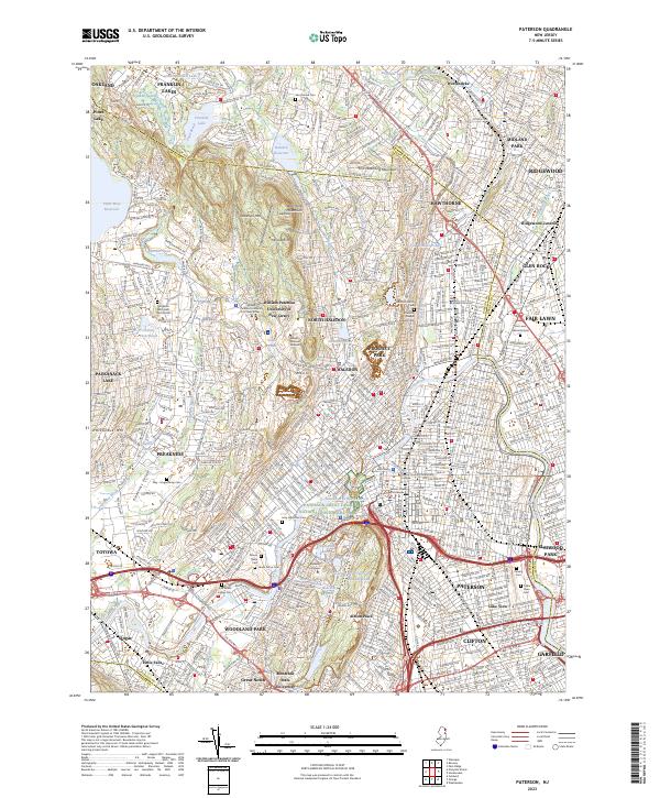
2023 Paterson
Passaic County, NJ