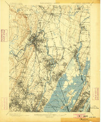
1900 Map of Paterson
USGS Topo · Published 1900About this map
The Morris Canal threads through the landscape south of the Passaic River, marking a period when water-powered industry and inland navigation defined the region's economy. Industrial infrastructure is prominent near the river, including the Dundee Dam and extensive Newark Waterworks and Jersey City Waterworks facilities. The map captures the transition from established mill towns like Paterson and Dundee to the growing suburban and rural pockets of Bergen and Passaic Counties.
Find a feature on this map
117 named features on this map. Tap any name to fly to it.
Don’t see what you’re looking for? This feature index may not catch every label — zoom into the map to look around manually.
Map Details
Editions of this 1900 Paterson Map
This is the sole edition of this map. No revisions or reprints were ever made.
Historical Maps of Copley Estates Through Time
10 maps found

1888 Paterson
Passaic County, NJ

1892 Paterson
Passaic County, NJ

1898 Paterson
Passaic County, NJ
1900 Paterson
Passaic County, NJ
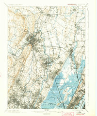
1903 Paterson
Passaic County, NJ
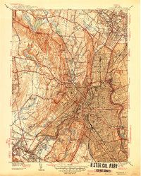
1938 Paterson
Passaic County, NJ
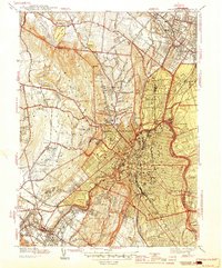
1944 Paterson
Passaic County, NJ
1955 Paterson
Passaic County, NJ
1995 Paterson
Passaic County, NJ
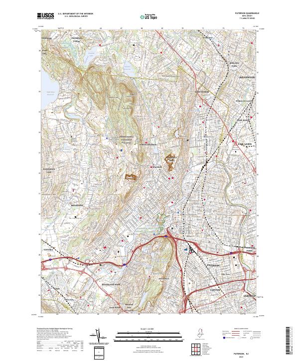
2023 Paterson
Passaic County, NJ