Loading...
Loading map...2024 Map of Paw Paw
USGS Topo · Published 2024About this map
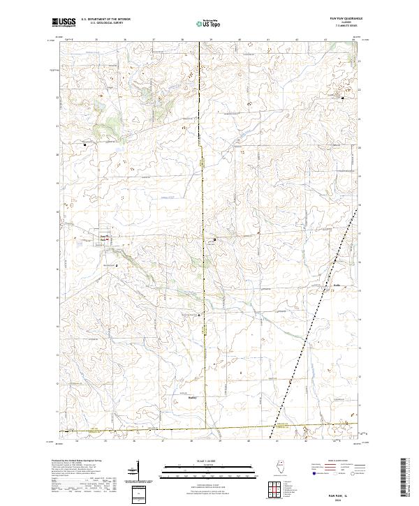
The village of Paw Paw serves as the primary hub in this Illinois landscape, where the borders of Lee, DeKalb, and LaSalle counties converge. The local topography is defined by the drainage basins of Indian Creek and Willow Creek, with Stroyan Lake providing a distinct hydrological marker north of the village. The settlement pattern follows a rigid section-line road grid, including Chicago Rd and S Paw Paw Rd, reflecting the region's deep agricultural roots.
Find a feature on this map
58 named features on this map. Tap any name to fly to it.
Don’t see what you’re looking for? This feature index may not catch every label — zoom into the map to look around manually.
Map Details
Date Portrayed2024
Date Published2024
PublisherU.S. Geological Survey
Map TypeTopographic
Scale1:24000
Physical Dimensions24 x 29 inches
Editions of this 2024 Paw Paw Map
This is the sole edition of this map. No revisions or reprints were ever made.
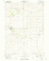
Historical Maps of Meriden Township Through Time
Featured Locations
- Wyoming Township, IL
- Paw Paw Township, IL
- Paw Paw, Wyoming Township
- Radley, Wyoming Township
- East Paw Paw, Paw Paw Township
Source Details
SourceU.S. Geological Survey
CopyrightPublic Domain