Loading...
Loading map...2023 Map of Paw Paw
USGS Topo · Published 2023About this map
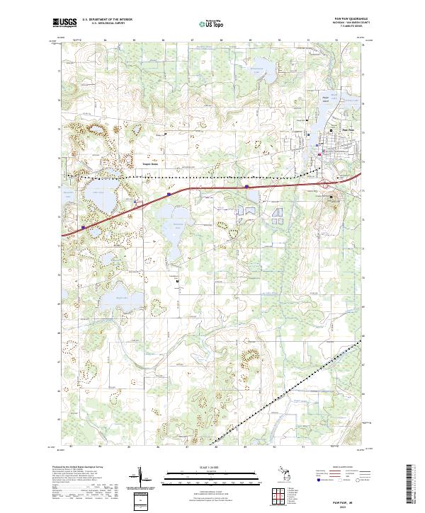
Paw Paw serves as the focal point of this southwestern Michigan landscape, where the South Branch Paw Paw River feeds into Maple Lake and Ackley Lake. The village layout is densely detailed, featuring the Van Buren County Courthouse and numerous historic burial sites such as Pioneer Cem and Saint Marys Cem. The surrounding township is defined by a glacial topography of kettle lakes and subtle rises like Teapot Dome and Prospect Hill.
Find a feature on this map
128 named features on this map. Tap any name to fly to it.
Don’t see what you’re looking for? This feature index may not catch every label — zoom into the map to look around manually.
Map Details
Date Portrayed2023
Date Published2023
PublisherU.S. Geological Survey
Map TypeTopographic
Scale1:24000
Physical Dimensions24 x 29 inches
Editions of this 2023 Paw Paw Map
This is the sole edition of this map. No revisions or reprints were ever made.
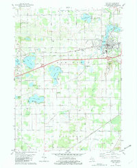
Historical Maps of Almena Township Through Time
Featured Locations
- Waverly Township, MI
- Antwerp Township, MI
- Arlington Township, MI
- Decatur Township, MI
- Paw Paw, Paw Paw Township
Source Details
SourceU.S. Geological Survey
CopyrightPublic Domain