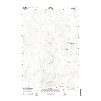
2014 Map of Peaked Mountain Pond
USGS Topo · Published 2014About this map
The Machias River winds through this heavily forested landscape in Washington County, defining a region characterized by remote camps and a complex network of waterways. Small settlements and named family sites like Mattimo Place and Rivers End suggest a local history tied to the land's natural resources and seasonal residences. The terrain is marked by significant hydrological features including the Old Stream, New Stream, and the notable The Oxbow along the Chandler River in the southeast corner.
Find a feature on this map
36 named features on this map. Tap any name to fly to it.
Don’t see what you’re looking for? This feature index may not catch every label — zoom into the map to look around manually.
Map Details
Editions of this 2014 Peaked Mountain Pond Map
This is the sole edition of this map. No revisions or reprints were ever made.
Other maps of this area

1902 · Cherryfield
USGS Topo · 1:62,500

1904 · Cherryfield
USGS Topo · 1:62,500

1921 · Columbia Falls
USGS Topo · 1:62,500

1921 · Columbia Falls
USGS Topo · 1:62,500

1941 · Columbia Falls
USGS Topo · 1:62,500

1941 · Wesley
USGS Topo · 1:62,500

1941 · Tug Mountain
USGS Topo · 1:62,500

1942 · Cherryfield
USGS Topo · 1:62,500

1942 · Columbia Falls
USGS Topo · 1:62,500

1943 · Tug Mountain
USGS Topo · 1:62,500