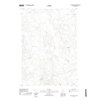
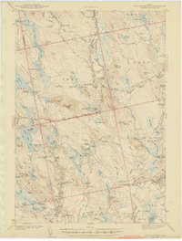
2018 Map of Peaked Mountain Pond
USGS Topo · Published 2018About this map
Machias River and Chandler River headwaters define this section of Washington County, where the landscape is marked by a intricate network of brooks and riffles. The interior of the quadrangle is largely defined by the water system surrounding Peaked Mountain Pond and the nearby Peaked Mtn, showing a geography shaped by glacial drainage and forest land. Settled points are sparse, though the junction at Rivers End indicates a pocket of human activity amidst the woods.
Find a feature on this map
27 named features on this map. Tap any name to fly to it.
Don’t see what you’re looking for? This feature index may not catch every label — zoom into the map to look around manually.
Map Details
Editions of this 2018 Peaked Mountain Pond Map
This is the sole edition of this map. No revisions or reprints were ever made.
Other maps of this area

1902 · Cherryfield
USGS Topo · 1:62,500

1904 · Cherryfield
USGS Topo · 1:62,500
1921 · Columbia Falls
USGS Topo · 1:62,500
1921 · Columbia Falls
USGS Topo · 1:62,500
1941 · Columbia Falls
USGS Topo · 1:62,500
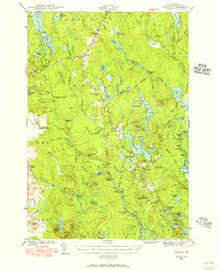
1941 · Wesley
USGS Topo · 1:62,500
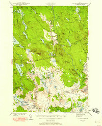
1941 · Tug Mountain
USGS Topo · 1:62,500
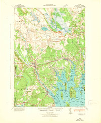
1942 · Cherryfield
USGS Topo · 1:62,500
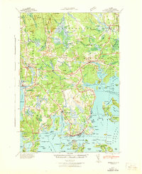
1942 · Columbia Falls
USGS Topo · 1:62,500
1943 · Tug Mountain
USGS Topo · 1:62,500