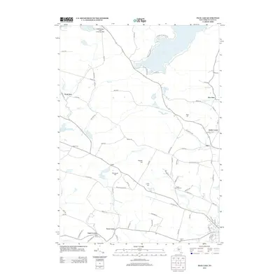
2013 Map of Peck Lake
USGS Topo · Published 2013About this map
Peck Lake and the surrounding Adirondack foothills are defined by a network of reservoirs and rural hamlets in this 2013 survey. The landscape supports a mix of agriculture and recreation, anchored by Rogers Family Orchards and the East Caroga Lake Camping Area. Small settlements like Kecks Center, Cork, and Meco are connected by a grid of long-established country roads, including Old State Rd and Red Schoolhouse Rd.
Find a feature on this map
91 named features on this map. Tap any name to fly to it.
Don’t see what you’re looking for? This feature index may not catch every label — zoom into the map to look around manually.
Map Details
Editions of this 2013 Peck Lake Map
This is the sole edition of this map. No revisions or reprints were ever made.
Other maps of this area

1896 · Fonda
USGS Topo · 1:62,500

1898 · Fonda
USGS Topo · 1:62,500

1898 · Canajoharie
USGS Topo · 1:62,500

1900 · Canajoharie
USGS Topo · 1:62,500

1901 · Lassellsville
USGS Topo · 1:62,500

1902 · Canajoharie
USGS Topo · 1:62,500

1902 · Fonda
USGS Topo · 1:62,500

1903 · Gloversville
USGS Topo · 1:62,500

1903 · Lassellsville
USGS Topo · 1:62,500

1943 · Gloversville
USGS Topo · 1:62,500