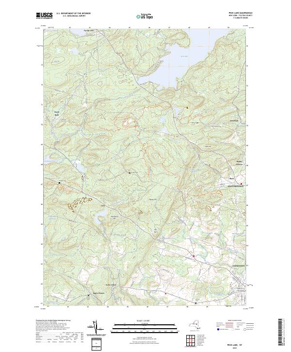
2023 Map of Peck Lake
USGS Topo · Published 2023About this map
Peck Lake and the surrounding Adirondack foothills in Fulton County reveal a landscape defined by its reservoirs and family-named hills. The topography is anchored by heights such as Peck Hill, Clapper Hill, and Clip Hill, which overlook a network of water bodies including Mud Lake and the Canajoharie Reservoir. This area has long served as a vital water source for the industrial centers to the south, evidenced by the infrastructure of the Cold Brook Reservoir.
Find a feature on this map
99 named features on this map. Tap any name to fly to it.
Don’t see what you’re looking for? This feature index may not catch every label — zoom into the map to look around manually.
Map Details
Editions of this 2023 Peck Lake Map
This is the sole edition of this map. No revisions or reprints were ever made.
Other maps of this area

1896 · Fonda
USGS Topo · 1:62,500

1898 · Fonda
USGS Topo · 1:62,500

1898 · Canajoharie
USGS Topo · 1:62,500

1900 · Canajoharie
USGS Topo · 1:62,500

1901 · Lassellsville
USGS Topo · 1:62,500

1902 · Canajoharie
USGS Topo · 1:62,500

1902 · Fonda
USGS Topo · 1:62,500

1903 · Gloversville
USGS Topo · 1:62,500

1903 · Lassellsville
USGS Topo · 1:62,500

1943 · Gloversville
USGS Topo · 1:62,500