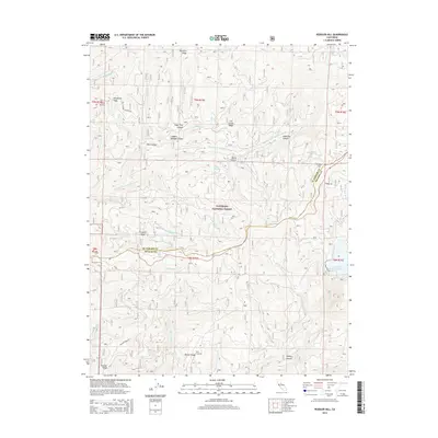
2015 Map of Peddler Hill
USGS Topo · Published 2015About this map
Eldorado National Forest defines the character of this high-elevation landscape, where the Middle Fork Cosumnes River and Bear River carve through the Sierra Nevada foothills. The terrain is marked by a series of prominent ridges, including Plummer Ridge, Telephone Ridge, and Panther Ridge, which historically provided high-ground passage for early forest access and resource management. The map documents the intricate network of canyons such as Loggers Delight Canyon and Sugar Pine Canyon, reflecting a long history of timber harvesting in the region. Notable water features like the Lower Bear River Reservoir and various springs, including Mehrten Spring and Mud Spring, provide vital water sources in this complex topography. The boundary between El Dorado County and Amador County follows the rugged watercourses and ridgelines, anchoring this area within its historical administrative context.
Find a feature on this map
44 named features on this map. Tap any name to fly to it.
Don’t see what you’re looking for? This feature index may not catch every label — zoom into the map to look around manually.
Map Details
Editions of this 2015 Peddler Hill Map
This is the sole edition of this map. No revisions or reprints were ever made.
Other maps of this area

1889 · Pyramid Peak
USGS Topo · 1:125,000

1891 · Big Trees
USGS Topo · 1:125,000

1891 · Pyramid Peak
USGS Topo · 1:125,000

1894 · Big Trees
USGS Topo · 1:125,000

1895 · Pyramid Peak
USGS Topo · 1:125,000

1896 · Pyramid Peak
USGS Topo · 1:125,000

1897 · Big Trees
USGS Topo · 1:125,000

1901 · Big Trees
USGS Topo · 1:125,000

1947 · Sacramento
USGS Topo · 1:250,000

1948 · Sacramento
USGS Topo · 1:250,000