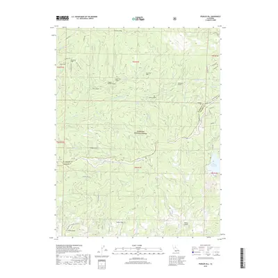
2018 Map of Peddler Hill
USGS Topo · Published 2018About this map
Eldorado National Forest encompasses this high-altitude landscape where the headwaters of the Middle Fork Cosumnes River and the Bear River carve through the Sierra Nevada foothills. The map reveals an intricate network of timber and access routes, such as the Caldor Logging Rd and Ellis Rd, which traverse the dramatic topography of Cat Creek Ridge and Plummer Ridge. These roads underscore the area's legacy of industrial forest management and recreational access.
Find a feature on this map
49 named features on this map. Tap any name to fly to it.
Don’t see what you’re looking for? This feature index may not catch every label — zoom into the map to look around manually.
Map Details
Editions of this 2018 Peddler Hill Map
This is the sole edition of this map. No revisions or reprints were ever made.
Other maps of this area

1889 · Pyramid Peak
USGS Topo · 1:125,000

1891 · Big Trees
USGS Topo · 1:125,000

1891 · Pyramid Peak
USGS Topo · 1:125,000

1894 · Big Trees
USGS Topo · 1:125,000

1895 · Pyramid Peak
USGS Topo · 1:125,000

1896 · Pyramid Peak
USGS Topo · 1:125,000

1897 · Big Trees
USGS Topo · 1:125,000

1901 · Big Trees
USGS Topo · 1:125,000

1947 · Sacramento
USGS Topo · 1:250,000

1948 · Sacramento
USGS Topo · 1:250,000