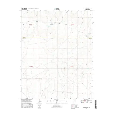
2017 Map of Pedernal Creek
USGS Topo · Published 2017About this map
Pedernal Creek winds through the high plains of Northeast New Mexico in this 2017 survey, defining a landscape of deep canyons and seasonal water sources. The map illustrates a rural area divided by the border of Union Co and Harding Co, where land use is dictated by the availability of water at sites like Smithson Reservoir Number 2 and Morrison Spring. For genealogists and local historians, the Pedernal Cem serves as a significant landmark of the area's pioneer heritage. A network of canyons, including Charley Adams Canyon, San Lorenzo Canyon, and Ute Canyon, cuts through the terrain, while the Flint Hills rise above the drainage basins. Rural life is connected by named tracks such as Lovato Rd and Oneal Rd, which navigate the township and range system near Franks Dam.
Find a feature on this map
23 named features on this map. Tap any name to fly to it.
Don’t see what you’re looking for? This feature index may not catch every label — zoom into the map to look around manually.
Map Details
Editions of this 2017 Pedernal Creek Map
This is the sole edition of this map. No revisions or reprints were ever made.
Other maps of this area

1954 · Tucumcari
USGS Topo · 1:250,000

1954 · Dalhart
USGS Topo · 1:250,000

1958 · Tucumcari
USGS Topo · 1:250,000

1958 · Dalhart
USGS Topo · 1:250,000

1962 · Dalhart
USGS Topo · 1:250,000

1966 · Skull Mesa
USGS Topo · 1:24,000

1966 · Pedernal Creek
USGS Topo · 1:24,000

1966 · Clapham
USGS Topo · 1:24,000

1966 · Car Top Butte
USGS Topo · 1:24,000

1966 · Hayden
USGS Topo · 1:24,000