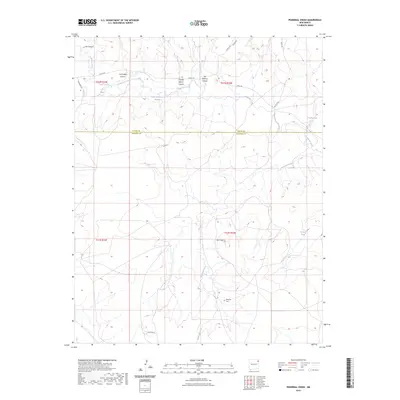
2023 Map of Pedernal Creek
USGS Topo · Published 2023About this map
The Pedernal Cem serves as a quiet historical anchor in this northern New Mexico landscape where Harding and Union counties meet. The terrain is defined by a series of dramatic erosional features, including Charley Adams Canyon, San Lorenzo Canyon, and the deeply incised Ute Canyon. These canyons funnel water toward Tramperos Creek and the southern Pedernal Creek, which is fed by Morrison Spring.
Find a feature on this map
23 named features on this map. Tap any name to fly to it.
Don’t see what you’re looking for? This feature index may not catch every label — zoom into the map to look around manually.
Map Details
Editions of this 2023 Pedernal Creek Map
This is the sole edition of this map. No revisions or reprints were ever made.
Other maps of this area

1954 · Tucumcari
USGS Topo · 1:250,000

1954 · Dalhart
USGS Topo · 1:250,000

1958 · Tucumcari
USGS Topo · 1:250,000

1958 · Dalhart
USGS Topo · 1:250,000

1962 · Dalhart
USGS Topo · 1:250,000

1966 · Skull Mesa
USGS Topo · 1:24,000

1966 · Pedernal Creek
USGS Topo · 1:24,000

1966 · Clapham
USGS Topo · 1:24,000

1966 · Car Top Butte
USGS Topo · 1:24,000

1966 · Hayden
USGS Topo · 1:24,000