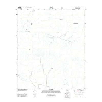
2012 Map of Pedregosa Mountains West
USGS Topo · Published 2012About this map
Packsaddle Mountain and the high desert elevations of the Pedregosa Mountains dominate this landscape in Cochise County. The map details a network of ranching life and water management essential for survival in the arid Southwest, featuring named operations such as 99 Bar Ranch and the Lamberson and Riggs Ranch. Evidence of localized infrastructure is found in the various water catchments scattered across the drainage basins, including the Big Bend Number Two Tank and Hunsaker Tank.
Find a feature on this map
36 named features on this map. Tap any name to fly to it.
Don’t see what you’re looking for? This feature index may not catch every label — zoom into the map to look around manually.
Map Details
Editions of this 2012 Pedregosa Mountains West Map
This is the sole edition of this map. No revisions or reprints were ever made.
Other maps of this area

1914 · Douglas
USGS Topo · 1:62,500

1916 · Pearce
USGS Topo · 1:125,000

1916 · Douglas
USGS Topo · 1:125,000

1917 · Chiricahua
USGS Topo · 1:125,000

1919 · Douglas
USGS Topo · 1:125,000

1919 · Perilla
USGS Topo · 1:125,000

1919 · Chiricahua
USGS Topo · 1:125,000

1922 · Swisshelm
USGS Topo · 1:62,500

1925 · Douglas
USGS Topo · 1:62,500

1926 · Pedregosa
USGS Topo · 1:62,500