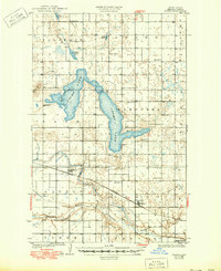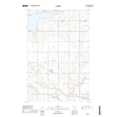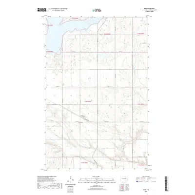
1951 Map of Pekin
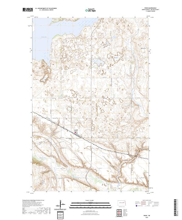
USGS Topo · Published 1953About this map
Pekin sits at the heart of this early 1950s survey, serving as a vital rail stop along the Great Northern railroad in Nelson County. The landscape is defined by the transition from the high, open terrain of Osago and Hamlin townships down to the deeply incised valley of the Sheyenne River in the south. The presence of a Town Hall and multiple rural schoolhouses, including School No 1 and School No 11, points to a well-established community of farmsteads linked by a grid of prairie roads.
Find a feature on this map
16 named features on this map. Tap any name to fly to it.
Don’t see what you’re looking for? This feature index may not catch every label — zoom into the map to look around manually.
Map Details
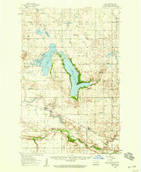
Editions of this 1951 Pekin Map
This is the sole edition of this map. No revisions or reprints were ever made.
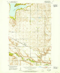
Historical Maps of Pekin Through Time
8 maps found