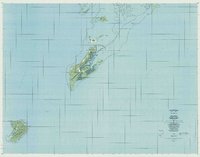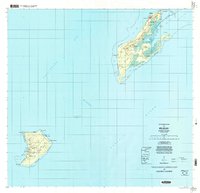
1999 Map of Peleliu
USGS Topo · Published 2004About this map
Peleliu and Angaur islands are documented here with topographic precision, revealing a landscape defined by coral reefs and World War II history. The interior of Peleliu is dominated by the limestone heights of Bloody Nose Ridge and Rois Kar, overlooking the critical Peleliu Airport. Evidence of the island's strategic past is found in the Historical Marker and Abandoned Lighthouse near the southern coast. To the south, the smaller island of Angaur is centered on the settlement of Ngaramasch, home to Our Lady of the Rosary Church. Numerous coastal features, such as Elechol ra Sang and Elechol ra Ngetechirur, detail the relationship between the low-lying settlements and the surrounding Philippine Sea. The map also indicates Minis and a Borrow Pit, suggesting the ongoing extraction of local resources amidst the tropical terrain.
Find a feature on this map
60 named features on this map. Tap any name to fly to it.
Don’t see what you’re looking for? This feature index may not catch every label — zoom into the map to look around manually.
Map Details
Editions of this 1999 Peleliu Map
This is the sole edition of this map. No revisions or reprints were ever made.