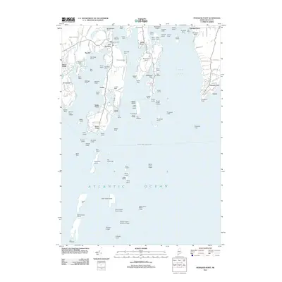
2011 Map of Pemaquid Point
USGS Topo · Published 2011About this map
The maritime tradition of Lincoln County is etched into this coastline, where the East Boothbay Shipyards stand near the East Boothbay Post Office. This map documents a dense network of rocky points and ledges stretching from the Damariscotta River eastward across Johns Bay to the iconic Pemaquid Lighthouse.
Find a feature on this map
139 named features on this map. Tap any name to fly to it.
Don’t see what you’re looking for? This feature index may not catch every label — zoom into the map to look around manually.
Map Details
Editions of this 2011 Pemaquid Point Map
This is the sole edition of this map. No revisions or reprints were ever made.
Other maps of this area
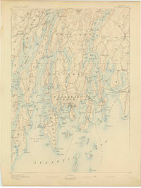
1893 · Boothbay
USGS Topo · 1:62,500
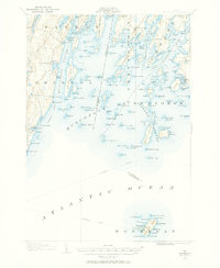
1904 · Monhegan
USGS Topo · 1:62,500
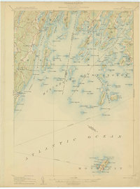
1906 · Monhegan
USGS Topo · 1:62,500
1941 · Boothbay
USGS Topo · 1:62,500
1943 · Boothbay
USGS Topo · 1:62,500
1944 · Boothbay
USGS Topo · 1:62,500
1948 · Bath
USGS Topo · 1:250,000
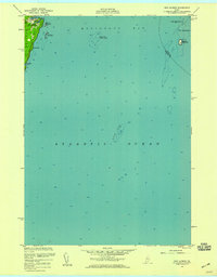
1955 · New Harbor
USGS Topo · 1:24,000
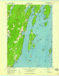
1955 · Louds Island
USGS Topo · 1:24,000
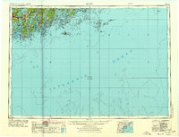
1956 · Bath
USGS Topo · 1:250,000