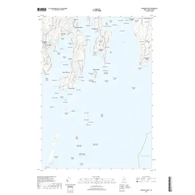
2018 Map of Pemaquid Point
USGS Topo · Published 2018About this map
Pemaquid Point stands as a prominent sentinel on the Midcoast Maine shoreline, defining the entrance to Johns Bay and Muscongus Bay. This recent survey details the deeply indented coastal geography where the Damariscotta River meets the Atlantic Ocean, a region defined by its long necks and maritime settlements. From the busy docks of Boothbay Harbor to the quiet reaches of South Bristol, the map captures the contemporary road network, including historic pathways like Shipyard Rd and Murray Hill Rd. Researchers can identify several local burying grounds, such as Oaklawn Cem and Farnham Cem, which reflect generations of family history in these seafaring communities. The terrain is a complex mosaic of ledges and islands, including The Hypocrites and Damariscove Island, which have historically served as critical landmarks for navigation along the rocky Lincoln County coast.
Find a feature on this map
145 named features on this map. Tap any name to fly to it.
Don’t see what you’re looking for? This feature index may not catch every label — zoom into the map to look around manually.
Map Details
Editions of this 2018 Pemaquid Point Map
This is the sole edition of this map. No revisions or reprints were ever made.
Other maps of this area

1893 · Boothbay
USGS Topo · 1:62,500

1904 · Monhegan
USGS Topo · 1:62,500

1906 · Monhegan
USGS Topo · 1:62,500

1941 · Boothbay
USGS Topo · 1:62,500

1943 · Boothbay
USGS Topo · 1:62,500

1944 · Boothbay
USGS Topo · 1:62,500

1948 · Bath
USGS Topo · 1:250,000
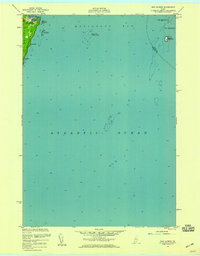
1955 · New Harbor
USGS Topo · 1:24,000
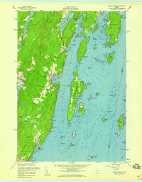
1955 · Louds Island
USGS Topo · 1:24,000

1956 · Bath
USGS Topo · 1:250,000