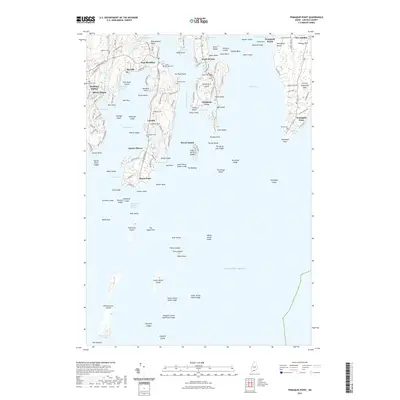
2021 Map of Pemaquid Point
USGS Topo · Published 2021About this map
Pemaquid Point and the complex rocky inlets of the Damariscotta River define this coastal landscape, where the sea deeply penetrates the Maine shoreline. The map documents several peninsular communities, including South Bristol, East Boothbay, and New Harbor, each structured around protective coves like Christmas Cove and Meadow Cove. Small cemeteries, such as Holbrook Cem, Island Cem, and Tibbetts Cem, are scattered across the points and islands, offering valuable data for genealogists tracing family landholdings near the water. The geography of the islands is intricate, ranging from the larger Rutherford Island to the distant Damariscove Island and the cluster of The Hypocrites. Local elevation is notable at Mount Pisgah and Lookout Hill, providing vantage points over the Atlantic Ocean and Johns Bay.
Find a feature on this map
159 named features on this map. Tap any name to fly to it.
Don’t see what you’re looking for? This feature index may not catch every label — zoom into the map to look around manually.
Map Details
Editions of this 2021 Pemaquid Point Map
This is the sole edition of this map. No revisions or reprints were ever made.
Other maps of this area

1893 · Boothbay
USGS Topo · 1:62,500

1904 · Monhegan
USGS Topo · 1:62,500

1906 · Monhegan
USGS Topo · 1:62,500

1941 · Boothbay
USGS Topo · 1:62,500

1943 · Boothbay
USGS Topo · 1:62,500

1944 · Boothbay
USGS Topo · 1:62,500

1948 · Bath
USGS Topo · 1:250,000
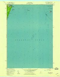
1955 · New Harbor
USGS Topo · 1:24,000
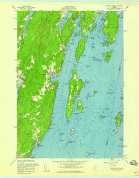
1955 · Louds Island
USGS Topo · 1:24,000

1956 · Bath
USGS Topo · 1:250,000