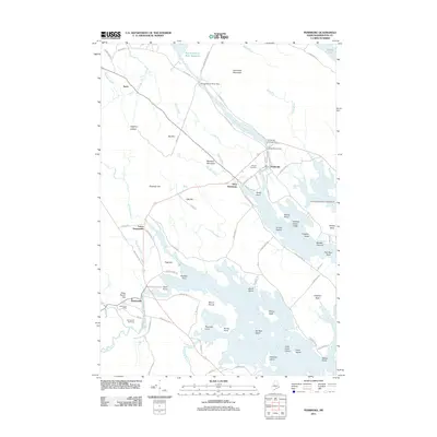
2011 Map of Pembroke
USGS Topo · Published 2011About this map
Dennysville and Pembroke serve as the primary hubs in this coastal Maine landscape, where the tides of the Hardscrabble River and Dennys River meet the interior's industrial history. The map documents a complex water management system along the Pennamaquan River, featuring the Pennamaquan River Dam, Pembroke Cottage Dam, and Lower River Dam, reflecting the region's historical reliance on water power.
Find a feature on this map
97 named features on this map. Tap any name to fly to it.
Don’t see what you’re looking for? This feature index may not catch every label — zoom into the map to look around manually.
Map Details
Editions of this 2011 Pembroke Map
This is the sole edition of this map. No revisions or reprints were ever made.
Other maps of this area
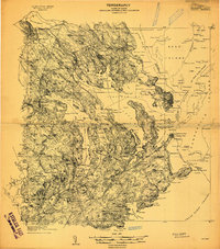
1907 · Eastport
USGS Topo · 1:48,000
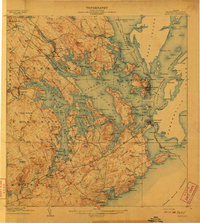
1908 · Eastport
USGS Topo · 1:62,500
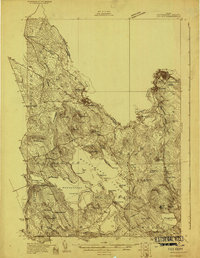
1929 · Calais
USGS Topo · 1:48,000
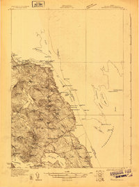
1929 · Robbinston
USGS Topo · 1:48,000
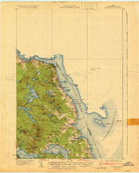
1931 · Robbinston
USGS Topo · 1:62,500
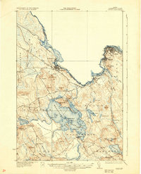
1932 · Calais
USGS Topo · 1:62,500
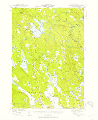
1941 · Gardner Lake
USGS Topo · 1:62,500
1943 · Gardner Lake
USGS Topo · 1:62,500
1943 · Eastport
USGS Topo · 1:62,500
1945 · Eastport
USGS Topo · 1:62,500