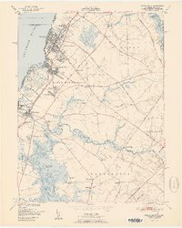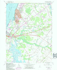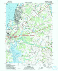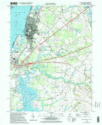
2023 Map of Penns Grove
USGS Topo · Published 2023About this map
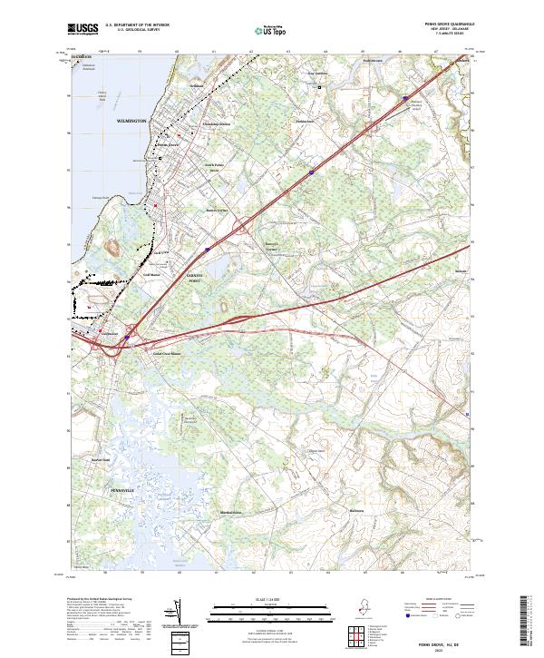
The Delaware River defines the western edge of this coastal landscape, where the industrialized corridors of Carneys Point and Deepwater meet the marshy lowlands of the Delmarva Peninsula. This area, spanning the border of New Jersey and Delaware, shows a complex network of waterways like the Salem River and Salem Canal that have long supported regional transport and industry. Moving inland from the Penns Neck region, the terrain transitions into agricultural and residential pockets such as Perkintown and Auburn.
Find a feature on this map
151 named features on this map. Tap any name to fly to it.
Don’t see what you’re looking for? This feature index may not catch every label — zoom into the map to look around manually.
Map Details
Editions of this 2023 Penns Grove Map
This is the sole edition of this map. No revisions or reprints were ever made.
Historical Maps of Pilesgrove Township Through Time
5 maps found