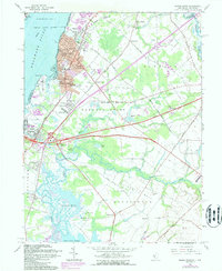
1967 Map of Penns Grove
USGS Topo · Published 1987About this map
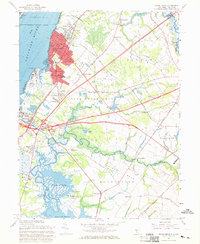
Industrial and residential development along the Delaware River defines this 1967 landscape, where the borough of Penns Grove and the community of Carneys Point serve as major population centers. The presence of the New Jersey Turnpike and Conrail lines underscores the region's importance as a transportation corridor, connecting local industry to the wider mid-Atlantic. Beyond the urban clusters of South Penns Grove and Deepwater, the map reveals a mosaic of social and educational landmarks, including St James High Sch and the Sakima Country Club. Further inland, the terrain softens into the agricultural reaches of Haines Neck and Pilesgrove, where smaller settlements like Marshalltown and Slapes Corner sit near the winding banks of the Salem River. This survey captures the mid-century transition from a river-focused economy to one shaped by high-speed transit and suburban expansion.
Find a feature on this map
96 named features on this map. Tap any name to fly to it.
Don’t see what you’re looking for? This feature index may not catch every label — zoom into the map to look around manually.
Map Details
Editions of this 1967 Penns Grove Map
2 editions found
Other maps of this area

1890 · Salem
USGS Topo · 1:62,500

1894 · Chester
USGS Topo · 1:62,500

1896 · Chester
USGS Topo · 1:62,500

1898 · Salem
USGS Topo · 1:62,500

1898 · Chester
USGS Topo · 1:62,500

1901 · Camden
USGS Topo · 1:125,000

1901 · West Chester
USGS Topo · 1:62,500

1904 · West Chester
USGS Topo · 1:62,500

1904 · Wilmington
USGS Topo · 1:62,500

1906 · Wilmington
USGS Topo · 1:62,500