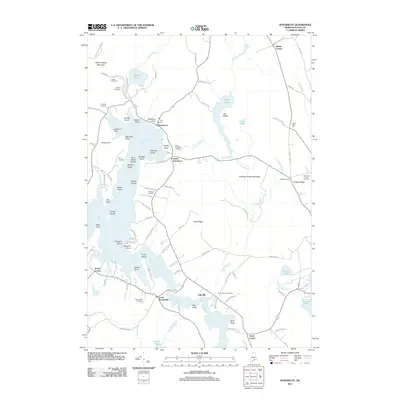
2011 Map of Penobscot
USGS Topo · Published 2011About this map
The Bagaduce River and the complex tidal waters of Northern Bay define this coastal landscape near the start of the twenty-first century. This portion of Hancock County is characterized by a high concentration of small, family-named burial grounds, such as the Leach Cemetery, Hutchins Cemetery, and Bridges Cemetery, which offer valuable data for genealogists tracing local lineage. The interior terrain rises toward Wallamatogus Mountain in the northwest and Chandler Parker Mountain to the east, with numerous freshwater bodies like Wight Pond and Pierce Pond feeding into the salt-water estuaries. Small settlements like South Penobscot, North Brooksville, and Hinckley Corner serve as anchors for a network of rural roads and ridges, including Gray Ridge and Hinckley Ridge. The geography of the shoreline is intricate, marked by numerous points and islands such as Wardwell Point, Aunt Mollie Island, and Pumpkin Island near the mouth of the bay.
Find a feature on this map
111 named features on this map. Tap any name to fly to it.
Don’t see what you’re looking for? This feature index may not catch every label — zoom into the map to look around manually.
Map Details
Editions of this 2011 Penobscot Map
This is the sole edition of this map. No revisions or reprints were ever made.
Other maps of this area

1900 · Orland
USGS Topo · 1:62,500

1900 · Bucksport
USGS Topo · 1:62,500

1902 · Bucksport
USGS Topo · 1:62,500

1902 · Castine
USGS Topo · 1:62,500

1904 · Castine
USGS Topo · 1:62,500

1904 · Bluehill
USGS Topo · 1:62,500

1905 · Penobscot Bay
USGS Topo · 1:125,000

1941 · Castine
USGS Topo · 1:62,500

1942 · Orland
USGS Topo · 1:62,500

1942 · Bucksport
USGS Topo · 1:62,500