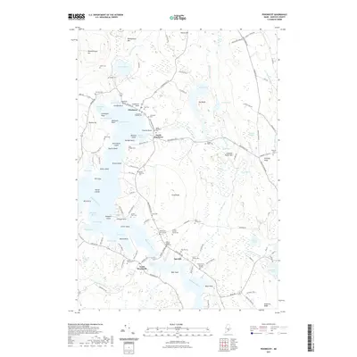
2021 Map of Penobscot
USGS Topo · Published 2021About this map
Northern Bay and the tidal reaches of the Bagaduce River dominate this coastal Maine landscape, where maritime geography and family lineage are deeply intertwined. The settlement of Penobscot sits at the head of the bay, flanked by numerous family burial sites that testify to generations of coastal residency, including the Stephen Gray Burying Ground, Old Grindle - Herrick Cem, and Carpenter - Wardell Cem. This concentration of small family cemeteries, often located near private farmsteads or historic road junctions like Graytown Rd, provides a rare spatial record for genealogists.
Find a feature on this map
143 named features on this map. Tap any name to fly to it.
Don’t see what you’re looking for? This feature index may not catch every label — zoom into the map to look around manually.
Map Details
Editions of this 2021 Penobscot Map
This is the sole edition of this map. No revisions or reprints were ever made.
Other maps of this area

1900 · Orland
USGS Topo · 1:62,500

1900 · Bucksport
USGS Topo · 1:62,500

1902 · Bucksport
USGS Topo · 1:62,500

1902 · Castine
USGS Topo · 1:62,500

1904 · Castine
USGS Topo · 1:62,500

1904 · Bluehill
USGS Topo · 1:62,500

1905 · Penobscot Bay
USGS Topo · 1:125,000

1941 · Castine
USGS Topo · 1:62,500

1942 · Orland
USGS Topo · 1:62,500

1942 · Bucksport
USGS Topo · 1:62,500