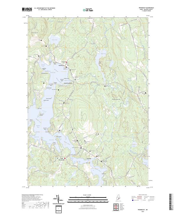
2024 Map of Penobscot
USGS Topo · Published 2024About this map
The tidal landscape of the Bagaduce River dominates this coastal Maine survey, where numerous islands like Pumpkin Island and Winslow Island dot the intricate shoreline of Northern Bay. The settlement patterns of Penobscot, South Penobscot, and North Brooksville are clearly defined, showing a network of rural roads that connect family-held lands and historic cemeteries. Local genealogists will find an exceptional density of family-named burial grounds, including the Stephen Gray Burying Ground and the Andrew Grindle Family Cem, which speak to the deep ancestral roots in this part of Hancock County.
Find a feature on this map
137 named features on this map. Tap any name to fly to it.
Don’t see what you’re looking for? This feature index may not catch every label — zoom into the map to look around manually.
Map Details
Editions of this 2024 Penobscot Map
This is the sole edition of this map. No revisions or reprints were ever made.
Other maps of this area

1900 · Orland
USGS Topo · 1:62,500

1900 · Bucksport
USGS Topo · 1:62,500

1902 · Bucksport
USGS Topo · 1:62,500

1902 · Castine
USGS Topo · 1:62,500

1904 · Castine
USGS Topo · 1:62,500

1904 · Bluehill
USGS Topo · 1:62,500

1905 · Penobscot Bay
USGS Topo · 1:125,000

1941 · Castine
USGS Topo · 1:62,500

1942 · Orland
USGS Topo · 1:62,500

1942 · Bucksport
USGS Topo · 1:62,500