
1934 Map of Percy
USGS Topo · Published 1934About this map
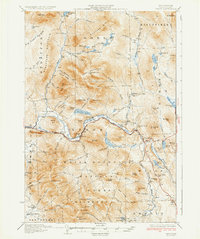
The Upper Ammonoosuc River carves a deep valley through this northern New Hampshire landscape, serving as the primary corridor for both the Grand Trunk railroad and early automotive travel. This 1934 survey documents the remote settlements and logging history of the region, from the curiously named Lost Nation in the southwest to West Milan in the east. The rugged topography is defined by significant summits like Mt Cabot, The Horn, and Hutchins Mtn, much of which is contained within the White Mountain Forest. Small rural schools, including the Emerson Sch and Blake Sch, are scattered along the river valley, marking the centers of these isolated mountain communities. The presence of No 8 Camp and numerous ponds like Nash Bog Pond and Christine Lake reflect a landscape shaped by timber interests and glacial geography.
Find a feature on this map
98 named features on this map. Tap any name to fly to it.
Don’t see what you’re looking for? This feature index may not catch every label — zoom into the map to look around manually.
Map Details
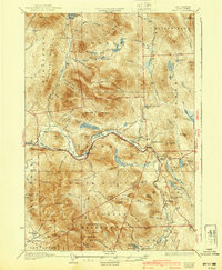
Editions of this 1934 Percy Map
3 editions found
Other maps of this area

1893 · Mt. Washington
USGS Topo · 1:62,500

1893 · Gorham
USGS Topo · 1:62,500

1896 · Mt. Washington
USGS Topo · 1:62,500

1896 · Gorham
USGS Topo · 1:62,500

1900 · Whitefield
USGS Topo · 1:62,500

1920 · Guildhall
USGS Topo · 1:62,500

1929 · Averill
USGS Topo · 1:62,500

1930 · Milan
USGS Topo · 1:62,500

1930 · Percy
USGS Topo · 1:62,500

1930 · Dixville
USGS Topo · 1:62,500