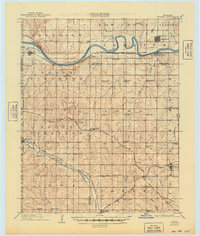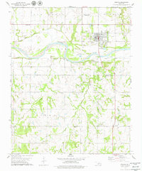
1978 Map of Perkins
USGS Topo · Published 1979About this map
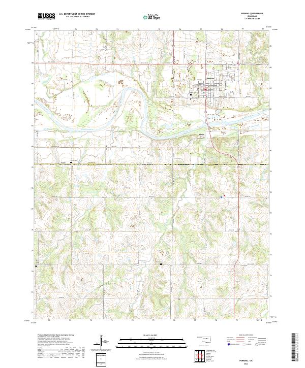
The Cimarron River winds through the heart of this landscape, separating the community of Perkins from the smaller settlement of Vinco. In the late 1970s, the area's agricultural character is evidenced by the Oklahoma State University Experimental Farm and several prominent sandpits along the riverbanks. The transition of local transportation is visible in the Old Railroad Grade running parallel to the river, marking the footprint of former rail commerce. To the south, the terrain becomes increasingly dissected by Dugout Creek and Corduroy Creek, where several remote landmarks are located. Genealogists and local historians can find multiple burial sites, including Knipe Cem, Brandon Cem, and the Iowa Chapel Cem near Iowa Chapel. These features, along with the Olivet Ch and the rural Community Hall, highlight the dispersed social fabric of the border between Payne and Lincoln counties.
Find a feature on this map
28 named features on this map. Tap any name to fly to it.
Don’t see what you’re looking for? This feature index may not catch every label — zoom into the map to look around manually.
Map Details
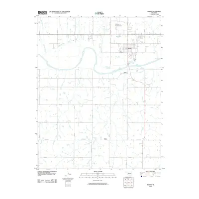
Editions of this 1978 Perkins Map
This is the sole edition of this map. No revisions or reprints were ever made.
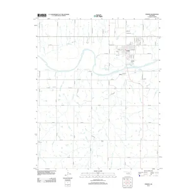
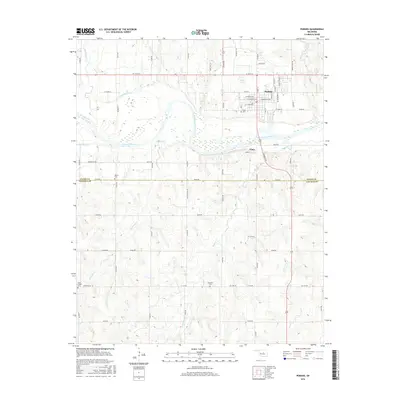
Historical Maps of Perkins Through Time
7 maps found