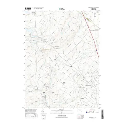
2016 Map of Perkiomenville
USGS Topo · Published 2016About this map
Perkiomen Creek and its many tributaries, including Unami Creek and Swamp Creek, define the rolling Montgomery County landscape shown here. The area is characterized by a dense network of early settlements and historic church sites, including the Old Goschenhoppen Cem near Woxall and the Salford Mennonite Cem in Harleysville. The elevation is punctuated by Spring Mountain near Delphi, while the Green Lane Reservoir provides a major geographic anchor to the northwest near Red Hill and Green Lane.
Find a feature on this map
238 named features on this map. Tap any name to fly to it.
Don’t see what you’re looking for? This feature index may not catch every label — zoom into the map to look around manually.
Map Details
Editions of this 2016 Perkiomenville Map
This is the sole edition of this map. No revisions or reprints were ever made.
Other maps of this area
1888 · Quakertown
USGS Topo · 1:62,500
1890 · Quakertown
USGS Topo · 1:62,500
1894 · Quakertown
USGS Topo · 1:62,500
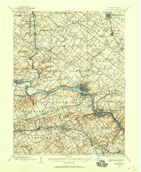
1894 · Norristown
USGS Topo · 1:62,500
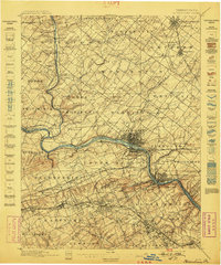
1895 · Norristown
USGS Topo · 1:62,500
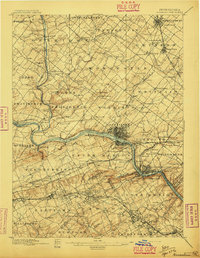
1896 · Norristown
USGS Topo · 1:62,500

1902 · Boyertown
USGS Topo · 1:62,500
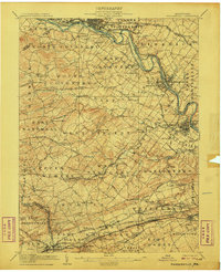
1906 · Phoenixville
USGS Topo · 1:62,500
1942 · Norristown
USGS Topo · 1:125,000
1943 · Quakertown
USGS Topo · 1:31,680
Featured Places
- Limerick Township, PA
- Skippack Township, PA
- Franconia Township, PA
- Harleysville, Lower Salford Township
- New Hanover Township, PA