2022 Map of Petersburg
USGS Topo · Published 2022About this map
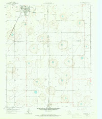
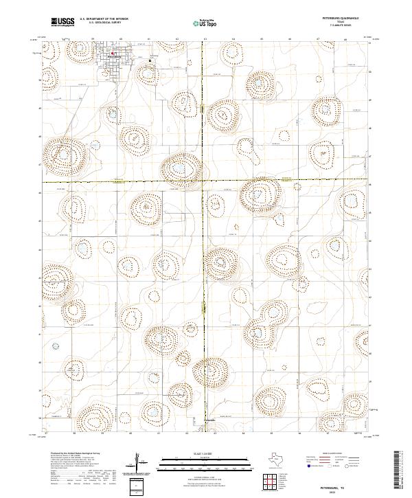
Petersburg sits at the northern edge of this West Texas landscape, where the flat expanse of the Llano Estacado is broken only by numerous small, seasonal lake basins or playas. The grid-like street plan of the town is anchored by its Po and a dense network of residential avenues from Ave D to Ave O. To the southeast, the historic settlement of Estacado marks a significant point in regional geography, situated near the corner of Lubbock and Crosby counties. The map captures the agricultural regularity of the High Plains, defined by a rigid system of county roads such as Co Rd 5000 and Co Rd 315 that segment the land into large parcels. Beyond the immediate vicinity of Petersburg Cem, the terrain is dominated by these natural depressions, which collect runoff in an otherwise semi-arid environment, illustrating the essential relationship between local topography and water management in this farming district.
Find a feature on this map
65 named features on this map. Tap any name to fly to it.
Don’t see what you’re looking for? This feature index may not catch every label — zoom into the map to look around manually.
Map Details
Editions of this 2022 Petersburg Map
This is the sole edition of this map. No revisions or reprints were ever made.