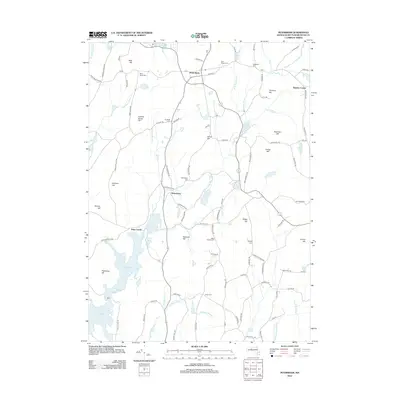
2012 Map of Petersham
USGS Topo · Published 2012About this map
Petersham serves as the focal point for this landscape, where the town's common and historical road network intersect near East Street Cem and West Street Cem. The southern half of the map is dominated by the northern reaches of the Quabbin Reservoir, which transformed the region's geography and displaced earlier communities. Elements of this past are visible at Dana Center, a site reflecting the towns submerged or isolated by the reservoir's creation. The terrain is marked by numerous peaks including Pottapaug Hill and Camels Hump Hill, while several family-named burying grounds, such as Miles Holden Cem and Coolidge Cem, provide significant data points for genealogists. Waterways like Moccasin Brook and the E Br Swift River feed into the reservoir system, illustrating the watershed's importance to the central Massachusetts region.
Find a feature on this map
98 named features on this map. Tap any name to fly to it.
Don’t see what you’re looking for? This feature index may not catch every label — zoom into the map to look around manually.
Map Details
Editions of this 2012 Petersham Map
This is the sole edition of this map. No revisions or reprints were ever made.
Other maps of this area

1887 · Warwick
USGS Topo · 1:62,500

1887 · Belchertown
USGS Topo · 1:62,500

1887 · Winchendon
USGS Topo · 1:62,500

1887 · Barre
USGS Topo · 1:62,500

1889 · Barre
USGS Topo · 1:62,500

1889 · Warwick
USGS Topo · 1:62,500

1890 · Belchertown
USGS Topo · 1:62,500

1890 · Winchendon
USGS Topo · 1:62,500

1893 · Belchertown
USGS Topo · 1:62,500

1894 · Winchendon
USGS Topo · 1:62,500