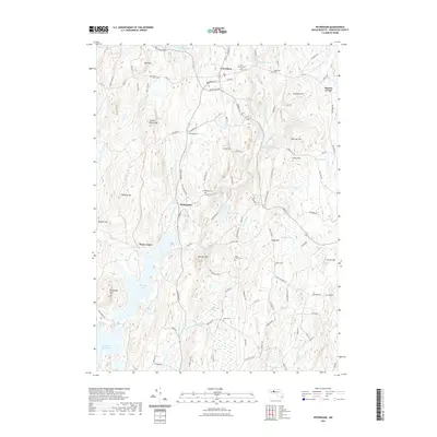
2021 Map of Petersham
USGS Topo · Published 2021About this map
Petersham serves as the focal point for this Worcester County landscape, situated amid a high density of local history markers including the West Street Cem and East Street Cem. To the south, the expansion of the Quabbin Reservoir defines the terrain, where Pottapaug Pond and Albertines Cove meet the former location of Dana Center. The map records a transition from the village centers of Nichewaug and Bassets Corner into the protected watershed areas. Numerous small family or community burial grounds, such as the Coolidge Cem, Miles Holden Cem, and Taylor Cem, are preserved across the ridges, providing valuable geographic data for genealogical research. The drainage patterns of the E Br Swift River and F Br Fever Brook further illustrate the water-rich topography that historically shaped the region's development.
Find a feature on this map
108 named features on this map. Tap any name to fly to it.
Don’t see what you’re looking for? This feature index may not catch every label — zoom into the map to look around manually.
Map Details
Editions of this 2021 Petersham Map
This is the sole edition of this map. No revisions or reprints were ever made.
Other maps of this area

1887 · Warwick
USGS Topo · 1:62,500

1887 · Belchertown
USGS Topo · 1:62,500

1887 · Winchendon
USGS Topo · 1:62,500

1887 · Barre
USGS Topo · 1:62,500

1889 · Barre
USGS Topo · 1:62,500

1889 · Warwick
USGS Topo · 1:62,500

1890 · Belchertown
USGS Topo · 1:62,500

1890 · Winchendon
USGS Topo · 1:62,500

1893 · Belchertown
USGS Topo · 1:62,500

1894 · Winchendon
USGS Topo · 1:62,500