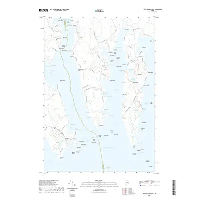
2021 Map of Petit Manan Point
USGS Topo · Published 2021About this map
The working waterfront of Corea and the peninsula surrounding Pigeon Hill define this coastal landscape on the Schoodic Peninsula. The map reveals a complex network of maritime features, from the protected waters of Corea Harbor and Prospect Harbor to the expansive Gouldsboro Bay and Dyer Bay. Shoreline heritage is evident in the naming of points and coves, such as Dolly Head, Rogers Point, and Schooner Cove, suggesting a long history of seafaring and local navigation.
Find a feature on this map
156 named features on this map. Tap any name to fly to it.
Don’t see what you’re looking for? This feature index may not catch every label — zoom into the map to look around manually.
Map Details
Editions of this 2021 Petit Manan Point Map
This is the sole edition of this map. No revisions or reprints were ever made.
Other maps of this area

1902 · Cherryfield
USGS Topo · 1:62,500

1904 · Cherryfield
USGS Topo · 1:62,500

1904 · Bar Harbor
USGS Topo · 1:62,500

1904 · Petit Manan
USGS Topo · 1:62,500

1930 · Tunk Lake
USGS Topo · 1:48,000

1932 · Tunk Lake
USGS Topo · 1:62,500

1942 · Bar Harbor
USGS Topo · 1:62,500

1942 · Cherryfield
USGS Topo · 1:62,500

1942 · Tunk Lake
USGS Topo · 1:62,500

1948 · Bangor
USGS Topo · 1:250,000