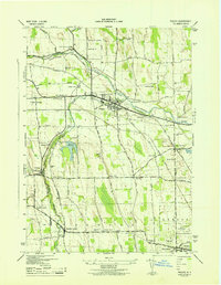
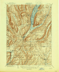
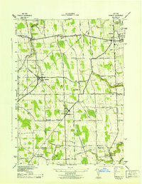
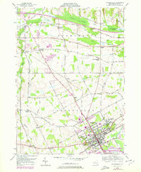
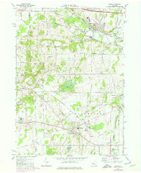
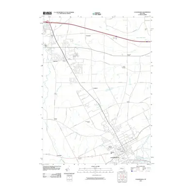
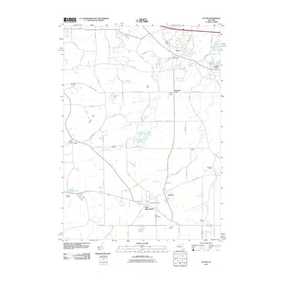
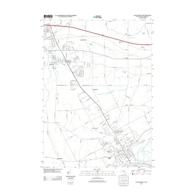
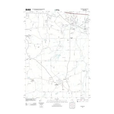
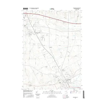
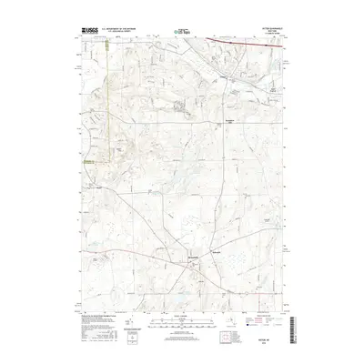
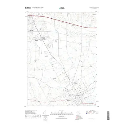
1943 Map of Phelps
USGS Topo · Published 1943About this map
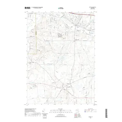
Phelps and Clifton Springs serve as the primary hubs in this Ontario County landscape during the early 1940s. The region is defined by a dense network of transit and agriculture, where the Lehigh Valley Railroad, Pennsylvania Railroad, and New York Central Railroad intersect at locations like Phelps Junc. The rural character of the era is preserved through numerous numbered schoolhouses, such as School No 11 and School No 21, and a series of family-named crossroads including Warner Corners and Pierson Corners.
Find a feature on this map
76 named features on this map. Tap any name to fly to it.
Don’t see what you’re looking for? This feature index may not catch every label — zoom into the map to look around manually.
Map Details
Editions of this 1943 Phelps Map
This is the sole edition of this map. No revisions or reprints were ever made.
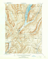
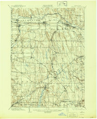
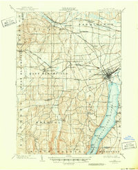
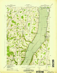
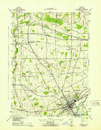
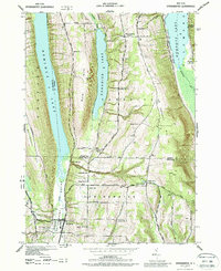
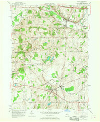
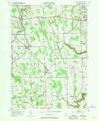
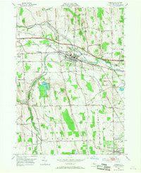
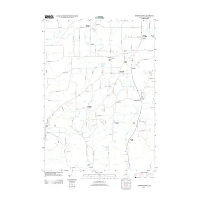
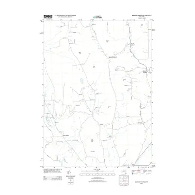
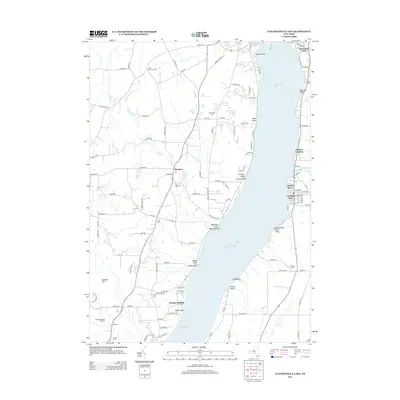
Historical Maps of Geneva Through Time
61 maps found

1900 Canandaigua
Ontario County, NY
1900 Naples
Ontario County, NY
1902 Phelps
Ontario County, NY
1903 Canandaigua
Ontario County, NY
1903 Naples
Ontario County, NY

1913 Naples
Ontario County, NY

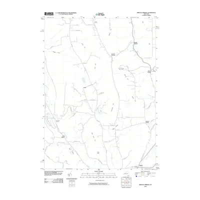
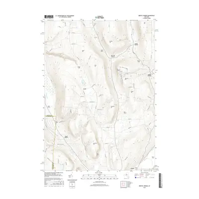
1942 Bristol Springs
Ontario County, NY
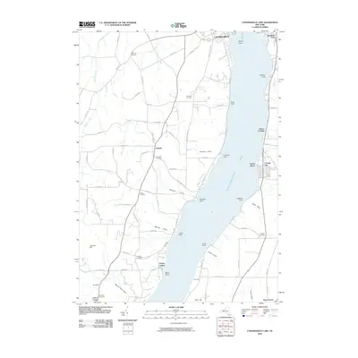
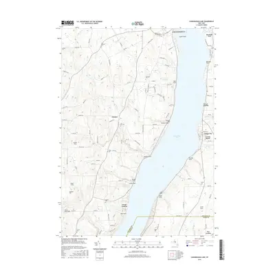
1942 Canandaigua Lake
Ontario County, NY
1942 Canandaigua
Ontario County, NY
1942 Springwater
Ontario County, NY
1942 Stanley
Ontario County, NY

1942 Victor
Ontario County, NY
1943 Bristol Springs
Ontario County, NY
1943 Phelps
Ontario County, NY
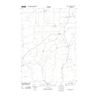
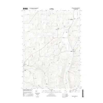
1951 Bristol Center
Ontario County, NY
1951 Canandaigua Lake
Ontario County, NY
1951 Canandaigua
Ontario County, NY
1951 Victor
Ontario County, NY
1952 Stanley
Ontario County, NY
1953 Phelps
Ontario County, NY
1971 Victor
Ontario County, NY
2010 Bristol Center
Ontario County, NY
2010 Bristol Springs
Ontario County, NY
2010 Canandaigua Lake
Ontario County, NY
2010 Canandaigua
Ontario County, NY
2010 Phelps
Ontario County, NY
2010 Springwater
Ontario County, NY
2010 Stanley
Ontario County, NY
2010 Victor
Ontario County, NY
2013 Bristol Center
Ontario County, NY
2013 Bristol Springs
Ontario County, NY
2013 Canandaigua Lake
Ontario County, NY
2013 Canandaigua
Ontario County, NY
2013 Phelps
Ontario County, NY
2013 Springwater
Ontario County, NY
2013 Stanley
Ontario County, NY
2013 Victor
Ontario County, NY
2016 Bristol Center
Ontario County, NY
2016 Bristol Springs
Ontario County, NY
2016 Canandaigua Lake
Ontario County, NY
2016 Canandaigua
Ontario County, NY
2016 Phelps
Ontario County, NY
2016 Springwater
Ontario County, NY
2016 Stanley
Ontario County, NY
2016 Victor
Ontario County, NY
2019 Bristol Center
Ontario County, NY
2019 Bristol Springs
Ontario County, NY
2019 Canandaigua Lake
Ontario County, NY
2019 Canandaigua
Ontario County, NY
2019 Phelps
Ontario County, NY
2019 Springwater
Ontario County, NY
2019 Stanley
Ontario County, NY
2019 Victor
Ontario County, NY

2023 Bristol Center
Ontario County, NY

2023 Bristol Springs
Ontario County, NY

2023 Canandaigua Lake
Ontario County, NY

2023 Canandaigua
Ontario County, NY

2023 Phelps
Ontario County, NY

2023 Springwater
Ontario County, NY

2023 Stanley
Ontario County, NY

2023 Victor
Ontario County, NY