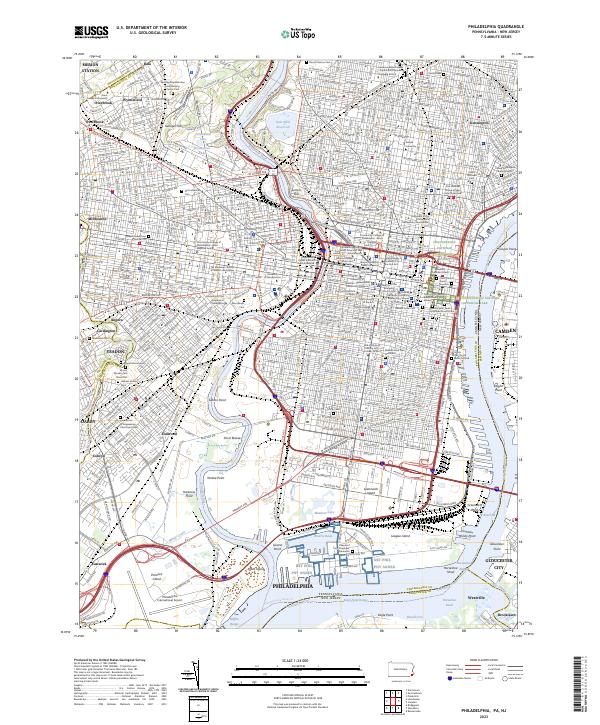
2023 Map of Philadelphia
USGS Topo · Published 2023About this map
The Schuylkill River and Delaware River define the urban landscape of Philadelphia, a city where centuries of history remain visible in its modern grid. This survey highlights the dense concentration of early American heritage, from the Edgar Allan Poe National Historic Site to the sacred grounds of Christ Church Burial Ground and the Independence National Historical Park. Along the western banks, the Woodlands Cem and Saint James of Kingsessing Churchyard Cem preserve the names of early residents in what were once suburban retreats.
Find a feature on this map
103 named features on this map. Tap any name to fly to it.
Don’t see what you’re looking for? This feature index may not catch every label — zoom into the map to look around manually.
Map Details
Editions of this 2023 Philadelphia Map
This is the sole edition of this map. No revisions or reprints were ever made.
Other maps of this area

1891 · Philadelphia
USGS Topo · 1:62,500

1893 · Germantown
USGS Topo · 1:62,500

1894 · Chester
USGS Topo · 1:62,500

1894 · Philadelphia
USGS Topo · 1:62,500

1894 · Norristown
USGS Topo · 1:62,500

1894 · Germantown
USGS Topo · 1:62,500

1895 · Norristown
USGS Topo · 1:62,500

1896 · Germantown
USGS Topo · 1:62,500

1896 · Philadelphia
USGS Topo · 1:62,500

1896 · Norristown
USGS Topo · 1:62,500