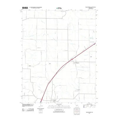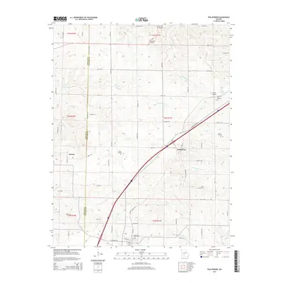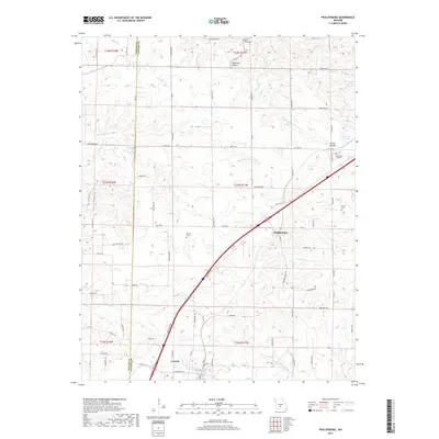
1982 Map of Phillipsburg
USGS Topo · Published 1983About this map
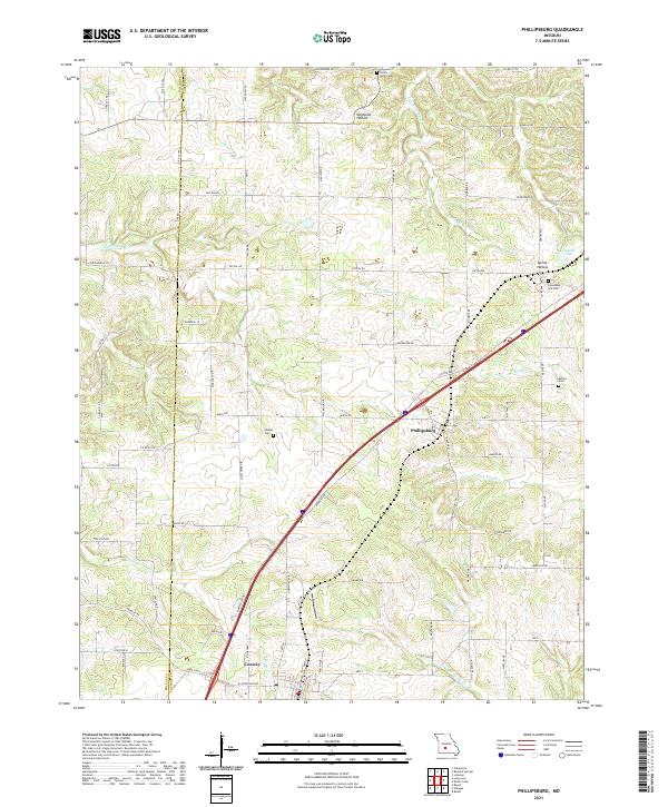
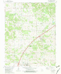
Phillipsburg and Conway anchor this Ozark landscape during the early 1980s, where the Burlington Northern railroad cuts a diagonal line through the rolling terrain of Washington and Union townships. This era of the Missouri countryside is defined by the proximity of small agricultural settlements to the dense timber of Goose Creek State Forest, complete with its Goose Creek State Forest Lookout Tower. The map is particularly valuable for genealogical research, documenting numerous rural burial grounds such as Shanks Cem, McFall Cem, and Twilight Cem that are often the only remaining markers of original family homesteads. The presence of several community churches, including Lees Summit Ch and New Hope Ch, alongside natural features like Dousinbury Creek and Spring Hollow, illustrates a landscape where social life was closely tied to local geography and established transport corridors.
Find a feature on this map
31 named features on this map. Tap any name to fly to it.
Don’t see what you’re looking for? This feature index may not catch every label — zoom into the map to look around manually.
Map Details
Editions of this 1982 Phillipsburg Map
This is the sole edition of this map. No revisions or reprints were ever made.
Historical Maps of Conway Through Time
5 maps found