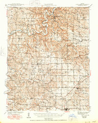
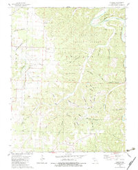
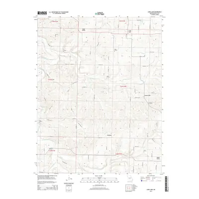
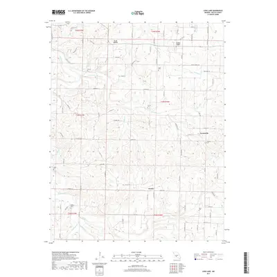
1939 Map of Long Lane
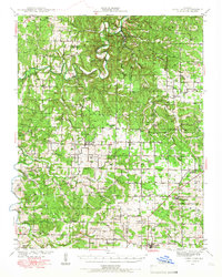
USGS Topo · Published 1966About this map
Niangua River meanders through the heart of this Ozark landscape, providing a central axis for the dispersed rural communities of Dallas and Laclede Counties. The 1930s terrain is characterized by a high density of neighborhood institutions, including the London Smoke Ch and Lonesome Hill Sch, which served families across the ridges and hollows. Significant crossings such as Hackler Ford and English Bennett Ford indicate how locals navigated the river before modern infrastructure was fully established. In the northeast corner, Bennett Spring State Park marks a prominent natural feature and recreational area even at this date. The southern portion of the map transitions to the rail corridor of the St Louis San Francisco railroad, which anchored towns like Phillipsburg and Conway, linking this agricultural region to broader markets.
Find a feature on this map
79 named features on this map. Tap any name to fly to it.
Don’t see what you’re looking for? This feature index may not catch every label — zoom into the map to look around manually.
Map Details
Editions of this 1939 Long Lane Map
This is the sole edition of this map. No revisions or reprints were ever made.
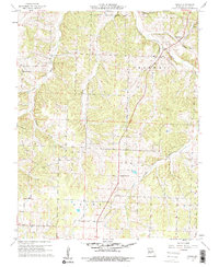
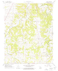
Historical Maps of Conway Through Time
27 maps found
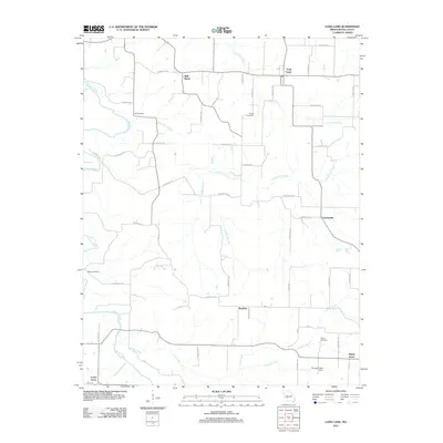
1939 Long Lane
Dallas County, MO
1942 Long Lane
Dallas County, MO
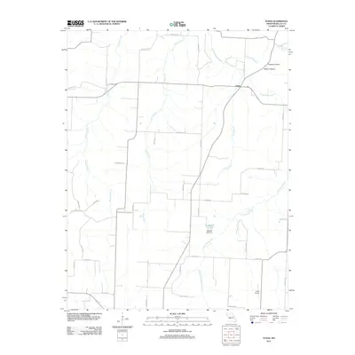
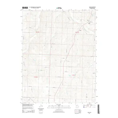
1960 Tunas
Dallas County, MO
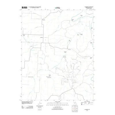
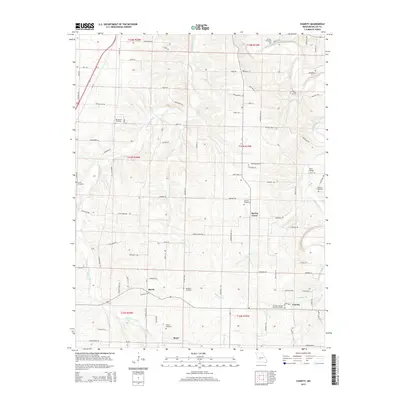
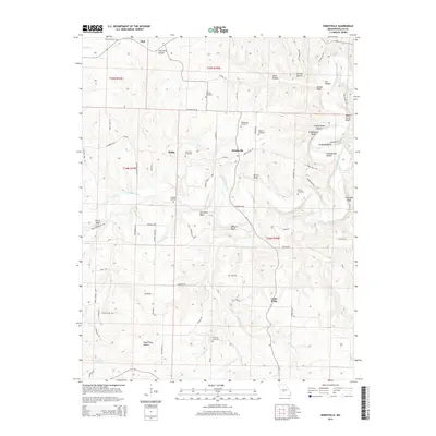
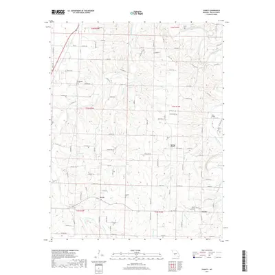
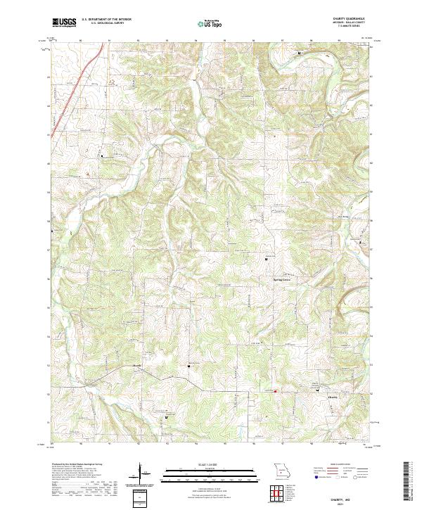
1961 Charity
Dallas County, MO
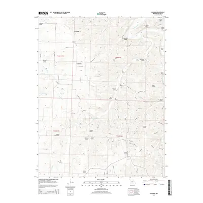
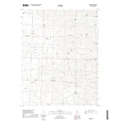
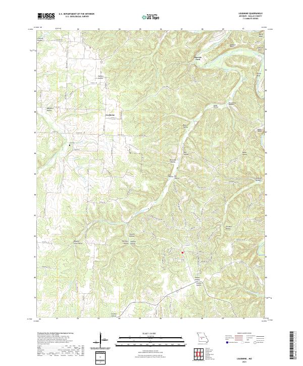
1982 Leadmine
Dallas County, MO
1982 Long Lane
Dallas County, MO
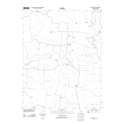
1982 Windyville
Dallas County, MO
2011 Charity
Dallas County, MO
2011 Long Lane
Dallas County, MO
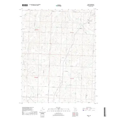
2011 Tunas
Dallas County, MO
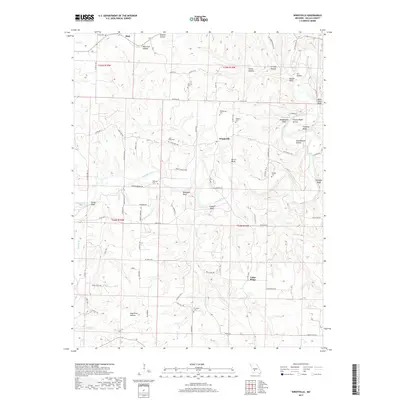
2011 Windyville
Dallas County, MO
2012 Leadmine
Dallas County, MO
2015 Charity
Dallas County, MO
2015 Leadmine
Dallas County, MO
2015 Long Lane
Dallas County, MO
2015 Tunas
Dallas County, MO
2015 Windyville
Dallas County, MO
2017 Charity
Dallas County, MO
2017 Leadmine
Dallas County, MO
2017 Long Lane
Dallas County, MO
2017 Tunas
Dallas County, MO
2017 Windyville
Dallas County, MO
2021 Charity
Dallas County, MO
2021 Leadmine
Dallas County, MO
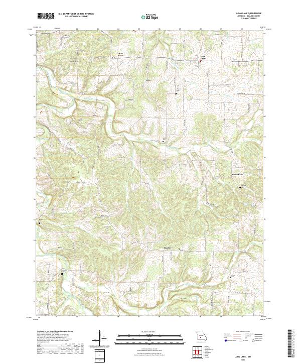
2021 Long Lane
Dallas County, MO
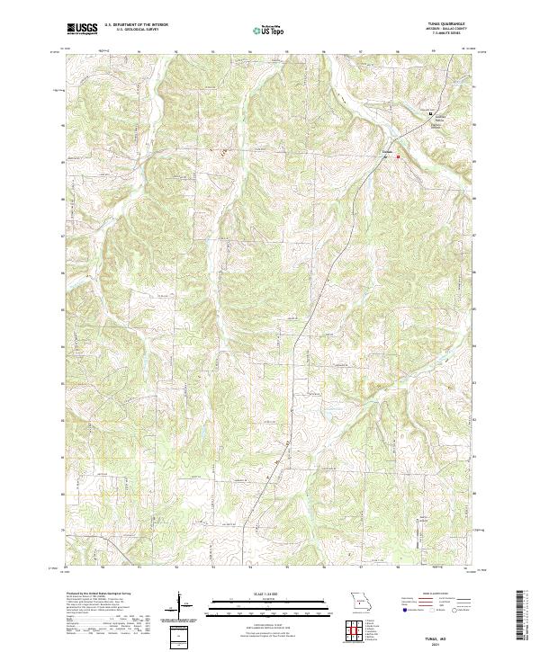
2021 Tunas
Dallas County, MO
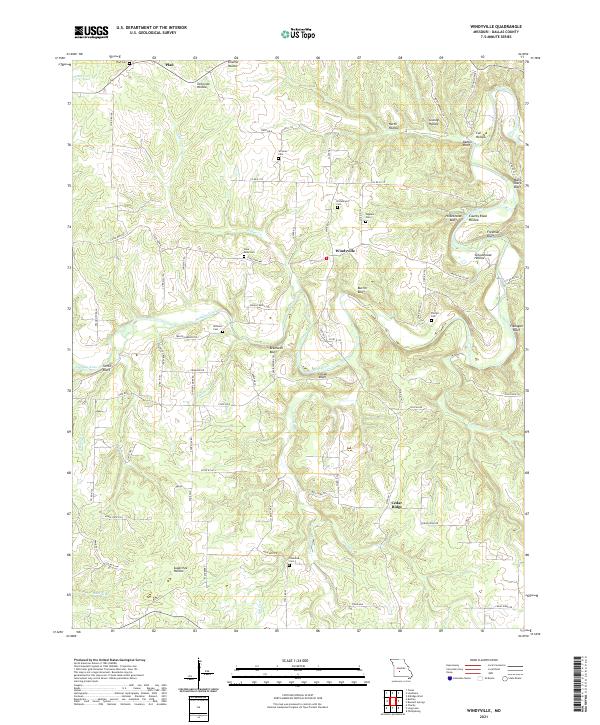
2021 Windyville
Dallas County, MO