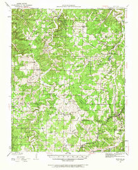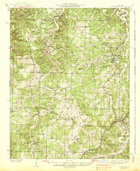
1938 Map of Stoutland
USGS Topo · Published 1938About this map
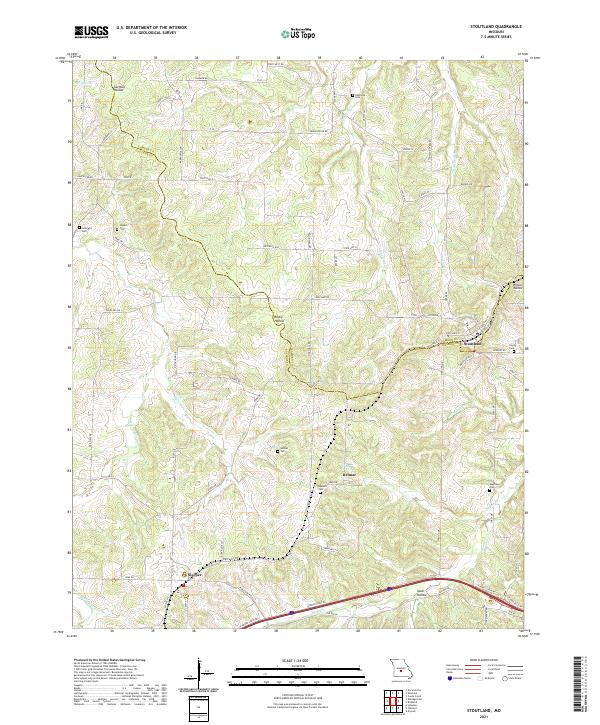
Stoutland and the St Louis-San Francisco Ry corridor anchor the southeastern corner of this Ozark plateau survey, where the railroad dictates the growth of local transit and trade. The landscape is defined by the winding course of Wet Glaize Creek and Auglaize Creek, which carved deep valleys through the limestone. This topography creates a patchwork of isolated upland settlements like Montreal, Eldridge, and Decaturville, each supported by a dense network of country institutions.
Find a feature on this map
66 named features on this map. Tap any name to fly to it.
Don’t see what you’re looking for? This feature index may not catch every label — zoom into the map to look around manually.
Map Details
Editions of this 1938 Stoutland Map
This is the sole edition of this map. No revisions or reprints were ever made.
Historical Maps of Camdenton Through Time
7 maps found